Cachar Pincodes
Enter the Pincode or Location Below in the Box
Pincodes of Cachar
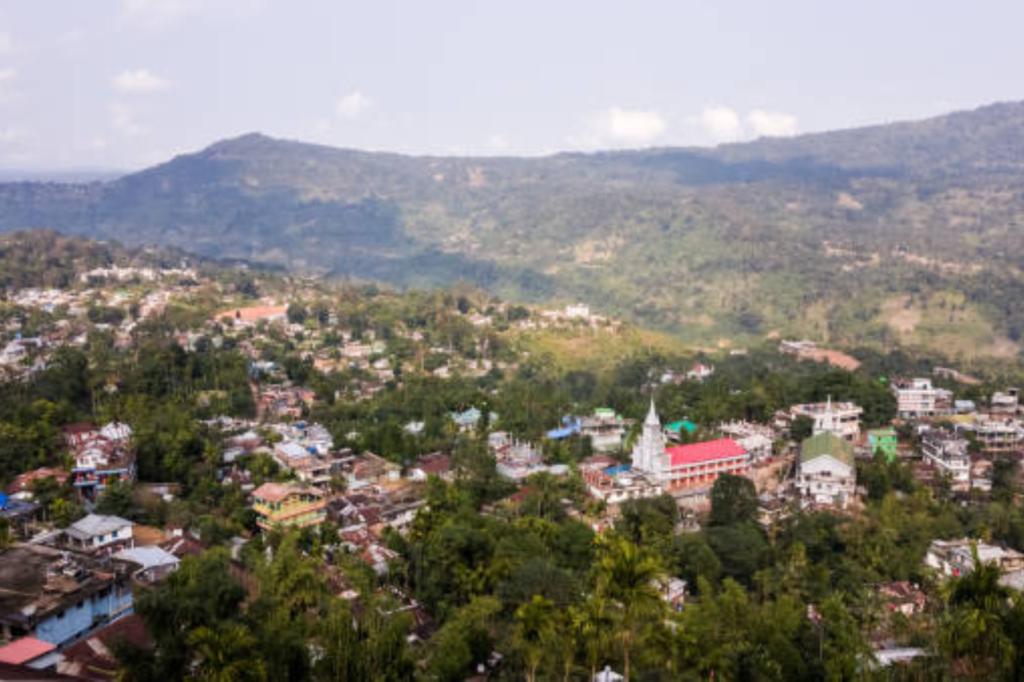
Cachar district, nestled in southern Assam, spans around 3,786 square kilometers and is famed for its verdant landscapes, hills, and thriving tea gardens. This culturally rich area, blending Bengali, Assamese, and Manipuri communities, is economically anchored by Silchar, a key town. Known for its historical significance, vibrant festivals, and scenic spots like Haflong and Barak Valley, Cachar is a vital piece of Assam’s cultural tapestry. Efficient mail delivery in Cachar is facilitated by its well-organized Cachar pincodes, covering every nook and corner of the district.
Here is a list of Cachar Pincodes
About Cachar
Cachar district, located in Assam, India, was carved out of the undivided Cachar district after independence. It consists of four districts: Dima Hasao, Hailakandi, Karimganj, and the current Cachar district, with Silchar serving as the administrative center.
Etymology
The name “Cachar” originates from the Kacharis people of the Kachari kingdom, who were early inhabitants of the Brahmaputra Valley and Barak Valley. The Kacharis, known as Barman in Barak Valley and Dimasa in Dima Hasao, were referred to as Timisa by the Ahoms, similar to Dimasa. They are akin to the Mech people in Goalpara and North Bengal.
Geography
Cachar district covers an area of 3,786 square kilometers and is bounded by Mizoram to the south, Manipur to the east, Hailakandi and Karimganj districts to the west, and the Barali and Jayantia hill ranges to the north. The Barak River, along with its tributaries—Jiri River, Jatinga River, Sonai River, and Daleswari River—comprises the major river system of the district. The district features plains, interspersed with hill ranges, and occasionally experiences wetland flooding, forming lakes. It is predominantly a tropical evergreen forest region, with extensive rainforests in the north and south.
Climate
Cachar district experiences a tropical wet climate with hot and wet summers and cool winters. The average annual rainfall surpasses 3,000 millimeters.
Demography
As of the 2011 census, Cachar district had a population of 1,736,617, ranking 278th among Indian districts. The population density is 459 inhabitants per square kilometer, with a growth rate of 20.17% from 2001 to 2011. The district’s sex ratio is 958 females for every 1000 males, and the literacy rate stands at 80.36%. About 18.17% of the population resides in urban areas. Scheduled Castes and Scheduled Tribes constitute 15.25% and 1.01% of the population, respectively.
Language
Bengali is the official language of Cachar district, spoken by 75% of the population, with the Sylheti dialect being prominent. English serves as the second official language. Indigenous tribals in the district speak Meitei, Bishnupuriya Manipuri, Dimasa, Bhojpuri, and Rongmei-Naga. Immigrants from various parts of India who reside in the district mainly speak Hindi.