Ramgarh Pincodes

Enter the Pincode or Location Below in the Box

Pincodes of Ramgarh

Ramghar Pincodes: Explore the postal codes of Ramghar with ease on our website, “Pincodes of My Location.” Whether you’re a resident or visitor, finding the right postal code for your destination is essential. Navigate through Ramghar’s various neighborhoods and localities effortlessly, as we provide a comprehensive list of pincodes for your convenience. From sending parcels to locating specific areas, our user-friendly platform ensures you have the information you need at your fingertips. Discover Ramghar like never before and simplify your postal code search with “Pincodes of My Location.” Your one-stop destination for accurate and up-to-date pincodes in Ramghar.
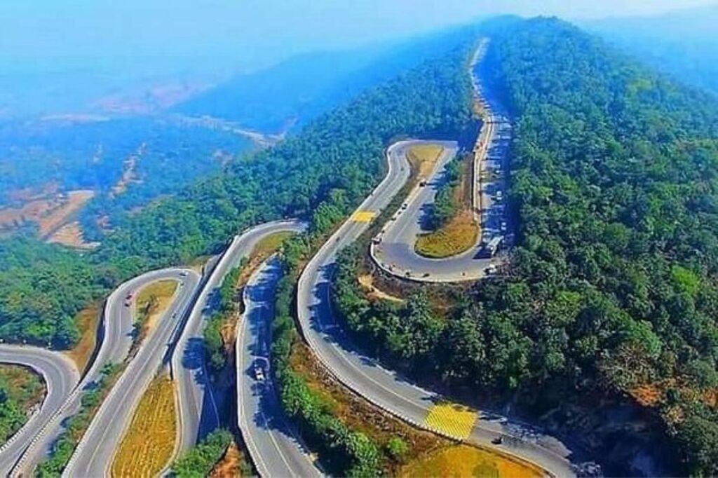
Ramgarh Pincodes

Here is a list of Ramgarh Pincodes

No.LocationPincode District State
1Dari829109RamgarhJharkhand
2Src829131RamgarhJharkhand

About Ramgarh

Ramgarh, part of Jharkhand, was once a military district under British rule. Established on September 12, 2007, it emerged from Hazaribagh District, becoming a pivotal area within Jharkhand. Centrally located, Ramgarh thrives as a mining, industrial, and cultural center, hosting the revered Maa Chhinnamasta Temple. Dating back to the 1670s, King Dalel Singh relocated Ramgarh Raj’s capital, naming it after his father, Ram Singh. Its name honors the town Ramgarh, serving as its present headquarters, encapsulating the essence of this vibrant district.

History

Stone Age relics, dating back to the Lower Paleolithic era, were unearthed along the Damodar River in Ramgarh. Under the reign of the formidable King Jarasandh, Chotanagpur fell within his dominion, likely under the subjugation of Mahapadam of Magadh and later under Ashoka the Great during the Maurya Empire. The presence of Buddha’s relics at the Gola temple and the construction of a Jain Trithankar shrine in Parasnath, around the 8th century BC, signify the influence of Buddhism and Jainism in the region. During the Gupta Empire, King Samudragupta’s expansion into the Eastern Deccan involved traversing through this very area.

Demography

As per the 2011 census, Ramgarh district hosted 949,443 inhabitants, akin to Fiji’s population or Delaware’s. Ranked 459th in India out of 640 districts, it held a density of 708 individuals per sq. km. Over 2001-2011, its population surged by 13.06%. The sex ratio stood at 921 females per 1000 males, with a literacy rate of 73.17%. Urban areas accommodated 44.13% of the populace. Scheduled Castes and Tribes constituted 11.20% and 21.19%, respectively. Language-wise, Khortha led at 56.63%, followed by Hindi (18.2%), Urdu (8.17%), Santali (3.72%), Bhojpuri (2.91%), Magahi (2.78%), and Bengali (1.59%).
 

Geography

The district nestles within Chotanagpur plateau, primarily embracing the Damodar Valley. Bounded by the Hazaribag Plateau to the north and the Ranchi Plateau to the south, this valley runs east-west, defining the landscape. Barka Pahar, towering at 1,049 meters above sea level, marks the Ramgarh-Ranchi border, likely the highest peak and a district divider. The Damodar Trough, or Upper Damodar Basin, plays a pivotal role in shaping this region’s physiography, showcasing a blend of plateaus and valleys in this vibrant terrain.

FAQs

Is Ramgarh a city or town?

Ramgarh, central to Jharkhand, thrives as a mining, industrial, and cultural center, housing the renowned Maa Chhinnamasta Temple. Its name, "The Fort of God Ram," defines its significance.

Why is Ramgarh famous?

Ramgarh, the famed 'fruit bowl' of Uttarakhand nestled in Kumaon, stands atop at 1,789 m. A tranquil hill-station, 35 km from Nainital, adorned with lush orchards—apricots, peaches, plums, and apples thrive here.

Which religion is in Ramgarh?

In Ramgarh district, as of 2023, Hindus comprise 81.55% (772,839) while Muslims, forming 13.59% (128,947), represent the minority among the 949,443 residents.

Is Ramgarh a hill station?

Ramgarh, a quaint hill station en route to Mukteshwar in Uttarakhand's Nainital district, boasts lush orchards and offers a clear vista of the snow-clad Himalayan peaks. Once an English army cantonment.

Which river flows in Ramgarh?

Mez, flowing through the tiger reserve in rugged terrain, belongs to India's 4A 'Semi-arid' zone. Dhok trees dominate this habitat in the hilly landscape.