Seraikela-kharsawan Pincodes

Enter the Pincode or Location Below in the Box

Pincodes of Seraikela-Kharsawan

Seraikela Kharsawan Pincodes : Discovering convenience in Seraikela-Kharsawan begins with its varied pincodes. The district flaunts a range of pincodes, serving as navigational keys to its diverse locales. From the bustling towns to serene hamlets, Seraikela-Kharsawan’s pincodes paint a mosaic of accessibility. Whether it’s the historic 833102 or the vibrant 833226, each pincode delineates a unique section of this culturally rich region. These pincodes, starting from 833101 and extending across the landscape, unlock the gates to an array of communities and landmarks, facilitating seamless connections within Seraikela-Kharsawan’s tapestry of experiences.
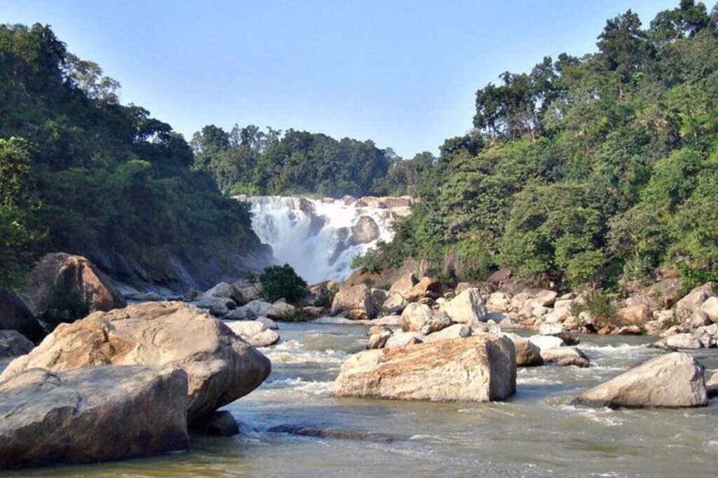
Saraikela-Kharsawan Pincodes

Here is a list of Seraikela-kharsawan Pincodes

About Saraikela Kharsawan

Seraikela-Kharsawan, a district in Jharkhand, Eastern India, boasts rich cultural heritage. Its headquarters, Seraikela town, anchors the region. Renowned for the Seraikela Chhau dance style, it preserves one of Chhau’s distinctive forms. Established in 2001, it emerged from West Singhbhum district, encompassing the princely states of Seraikela and Kharaswan post-India’s independence. This district’s narrative is steeped in history, blending the legacies of two princely realms, now united under the vibrant tapestry of Seraikela-Kharsawan, a testament to the evolving heritage of modern India.

History

Seraikela-Kharsawan, a district in Jharkhand, Eastern India, boasts rich cultural heritage. Its headquarters, Seraikela town, anchors the region. Renowned for the Seraikela Chhau dance style, it preserves one of Chhau’s distinctive forms. Established in 2001, it emerged from West Singhbhum district, encompassing the princely states of Seraikela and Kharaswan post-India’s independence. This district’s narrative is steeped in history, blending the legacies of two princely realms, now united under the vibrant tapestry of Seraikela-Kharsawan, a testament to the evolving heritage of modern India.
 

Demography

As per the 2011 census, Seraikela Kharsawan district hosts a population of 1,065,056, akin to Cyprus or Rhode Island. Ranking 428th in India, it boasts a density of 401 people per sq. km. The decade saw a 25.28% population rise. The sex ratio stands at 958 females for every 1000 males, with a literacy rate of 67.70%. Urban areas house 24.29% of the populace. Scheduled Castes and Scheduled Tribes comprise 5.28% and 35.18%, respectively. Notable Scheduled Castes include Bhuiya (1.88%) and Ghasi (0.98%), while Santal (12.19%) and Ho (8.37%) are among the prominent Scheduled Tribes, enriching the district’s diverse fabric.

Geography

Seraikela Kharsawan district spans between 22°29’26” and 23°09’34” north latitudes and 85°30’14” and 86°15’24” east longitudes. The region boasts numerous waterways, including the significant Subarnarekha, Kharkai, and Korkori rivers. Notably, the Chandil dam stands as a renowned waterbody in the area, situated close to the town of Chandil. This dam not only represents a vital water resource but also holds cultural significance within the district. With these rivers coursing through and the Chandil dam’s prominence, waterways serve as integral elements shaping both the natural landscape and the cultural fabric of Seraikela Kharsawan.

Economy

In 2006, Seraikela Kharsawan earned recognition as one of India’s 250 most underdeveloped districts among 640. As part of Jharkhand’s 21 districts benefiting from the Backward Regions Grant Fund Programme (BRGF), it continues to receive essential financial aid. This acknowledgment by the Ministry of Panchayati Raj underscores the district’s status, emphasizing the ongoing efforts to uplift and develop Seraikela Kharsawan. The inclusion in BRGF initiatives signifies a dedicated focus on fostering progress, aiming to transform the region and improve the quality of life for its residents.

FAQs