Raigad Pincodes
Enter the Pincode or Location Below in the Box
Pincodes of Raigad

Here is a list of Raigad Pincodes
About Raigad
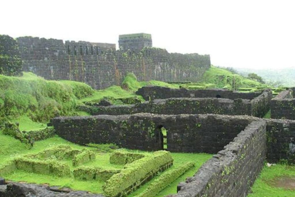
Raigad district, formerly known as Colaba district, is situated in the Konkan division of Maharashtra, India. Alibag serves as its administrative headquarters, while other prominent cities within the district include Panvel, Karjat, Navi Mumbai, Khopoli, Shrivardhan, and Mahad.The district acquired its name, Raigad, from the historic fort that once served as the initial capital of the Maratha Empire. This fort, originally known as Rairi, is nestled within the district’s lush forested terrain, perched on a westward-facing ridge of the Sahyadri Range in the Western Ghats. Raigad district’s rich history and natural beauty make it a captivating region within Maharashtra.
History
In 1869, Kulaba (alternatively spelled Kolaba) district emerged as a distinct entity, separating from Thane district. However, the northernmost regions of today’s Raigad district remained within the boundaries of Thane district during this initial partition. Surprisingly, Panvel, situated just across the Mumbai bay, wasn’t integrated into Kolaba district until 1883, while Karjat, located in the northeastern corner of the modern Raigad district, didn’t become a part of Kolaba district until 1891. Later on, Kolaba district underwent a name change and was rechristened as Raigad district, preserving a rich historical legacy in the region’s administrative evolution.
Demography
As per the 2011 census data, Raigad district boasts a population of approximately 2,634,200, which is roughly equivalent to the nation of Kuwait or the US state of Nevada. This positions the district at 153rd place among India’s 640 districts in terms of population. Raigad exhibits a population density of 368 individuals per square kilometer (950 per square mile) and recorded a population growth rate of 19.31% during the decade from 2001 to 2011. The district demonstrates a sex ratio of 959 females for every 1000 males, along with a commendable literacy rate of 83.14%. About 36.83% of the populace resides in urban areas, while Scheduled Castes and Scheduled Tribes account for 5.12% and 11.58% of the total population, respectively.
Geography
Situated in Maharashtra, Raigad district is bordered by diverse geographical features. To the northwest lies the expansive Mumbai Harbour, while the northern boundary meets Thane district. Eastward, it extends into Pune district, while the south is flanked by Ratnagiri district. The western coastline is embraced by the Arabian Sea. Of particular note is the magnificent Pen-Mandwa natural harbor, seamlessly connected to Mumbai Harbour. The northern region integrates seamlessly into the planned metropolis of Navi Mumbai, encompassing Kharghar, Ulve node, New Panvel, Khanda Colony, Taloja, Kamothe, Kalamboli nodes, along with Uran City and its bustling port, the Jawaharlal Nehru Port Trust (JNPT).
