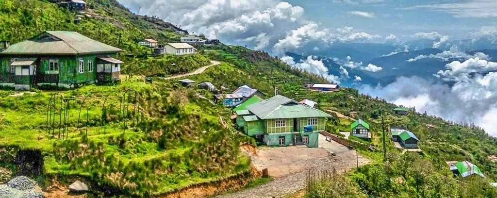
West Sikkim Pincodes
Enter the Pincode or Location Below in the Box
Pincodes of West Sikkim
Greetings and welcome to the West Sikkim Pincodes directory, your reliable resource for precise and current pincode data in the picturesque West Sikkim area. Postal Index Numbers (PINs), sometimes referred to as pincodes, are essential for accurate location identification, effective mail delivery, and smooth communication. They make it easier to send and receive mail, parcels, and shipments by providing a unique code for every region. You can quickly and easily get the pincode for any location in West Sikkim using our easy-to-use search engine. Our database is made to help you find the right pincode for your needs, whether you’re a resident, business owner, or tourist.

Here is a list of West Sikkim Pincodes
About West Sikkim
1,166 square kilometers, West Sikkim is the second-largest district in the Indian state of Sikkim. The district’s headquarters are located in Gyalshing, sometimes referred to as Geyzing.A metalled road connects the town to the capital, Gangtok. Geyzing is also connected by Jorethang to the West Bengal towns of Kalimpong and Darjeeling. The majority language in the area is Nepali, and there are a lot of Nepalis living in the town.Bhutia, Lepcha, Limbu, Newari, Rai, Gurung, Mangar, Sherpa, Tamang, Sunwar, and other languages are also spoken here.
History
The location of Yuksom, the former state capital, is in Gyalshing district. Starting in 1642 and lasting for about 50 years until it was moved to Rabdentse, it functioned as the capital of Sikkim. In the eighteenth and nineteenth centuries, the area was occupied by the Nepalese for thirty years. Following the Anglo-Nepalese War (1814–16), Sikkim regained control of the district.
Geography
The district of Gyalshing is 1,166 square kilometers (450 sq mi) in size. The Khecheopalri Lake, where a tradition states that no leaf is ever allowed to fall on the lake’s surface, and the Dubdi Monastery the state’s earliest monastery are among the attractions.
Economy
Despite the fact that the majority of the land is unsuitable for cultivation due to its steep and rocky slopes, the economy is mostly based on agriculture. Globally, hill state agriculture has always been difficult. The situation in the hills has not improved despite the significant changes in agriculture brought about by technological advancements over the past 50 years in both developed and emerging nations. They were either unsuitable for the intricate hill ecosystems or inaccessible or expensive for the general public for physiographic and topographical reasons.
Demography
Gyalshing district has 136,435 residents, or about equivalent to the population of Grenada, according to the 2011 census. As a result, it is ranked 608th in India. The population density of the district is 117 people per square kilometer, or 300 people per square mile. Between 2001 and 2011, the population growth rate was 10.58%. Its literacy rate is 78.69%, and its sex ratio is 941 females for every 1000 males. 71,675 people lived in the district following its breakup. The proportions of Scheduled Castes and Scheduled Tribes to the total population were 31,847 (44.43%) and 3,391 (4.73%), respectively.
Flora and Fauna
The Gyalshing district is home to a wide variety of plants and animals, many of which are utilized by nearby settlements and Indigenous people. Due to its steep terrain, the area experiences a moderate climate. Forests of rhododendron grow thickly along the slopes over 3,800 meters (12,000 feet). The 1,784 square kilometer (688.8 sq mi) Khangchendzonga National Park was established in the district in 1977. The North Sikkim district shares the park with it.
