Darjeeling Pincodes
Enter the Pincode or Location Below in the Box
Pincodes of Darjeeling
Greetings and welcome to the Darjeeling Pincodes directory, your trustworthy resource for locating exact postal codes in the stunning Darjeeling district. Whether you’re a visitor, a business owner, or a resident, our easy-to-use tool can help you quickly obtain precise pincode information. Every town, village, and hamlet in Darjeeling has a postal index number (PIN), which is a special code. These PINs are necessary to guarantee effective mail delivery, make accurate location identification possible, and allow smooth communication. You can quickly find pincodes in Darjeeling by using our directory to search by name, locality, or certain areas.

Here is a list of Darjeeling Pincodes
About Darjeeling
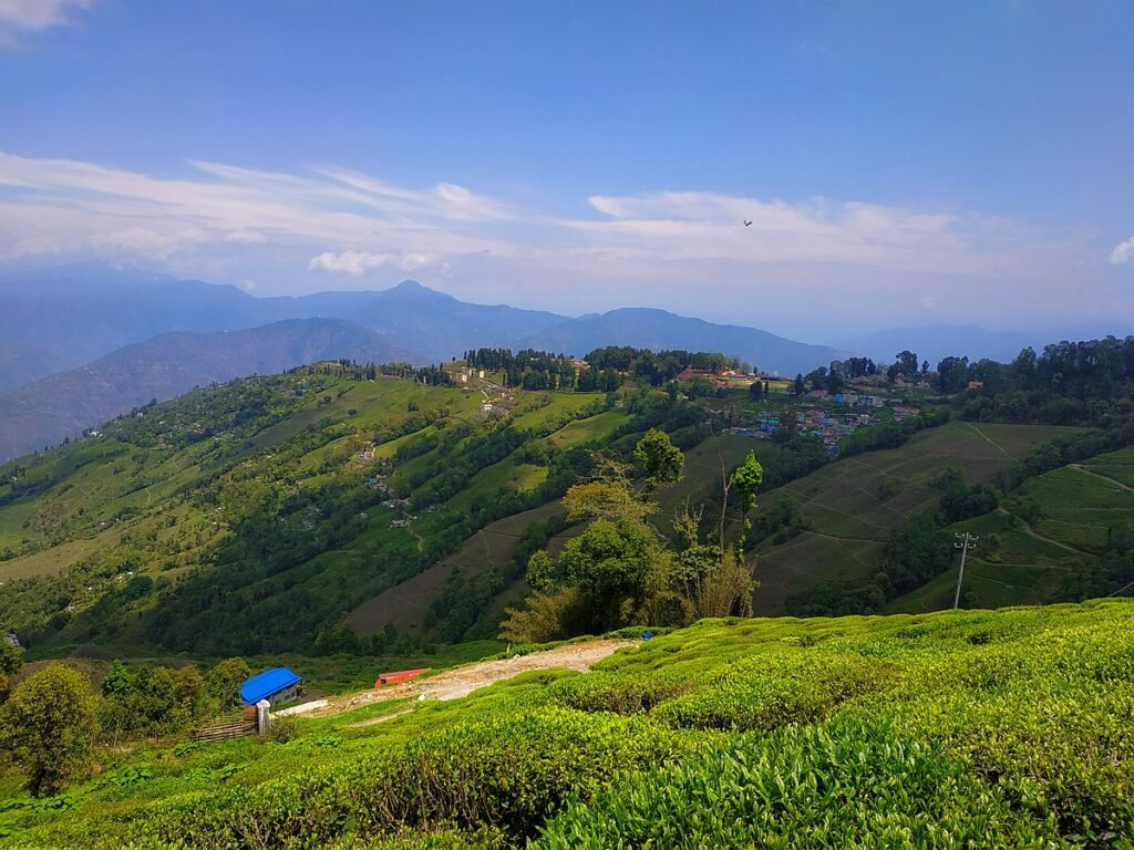
West Bengal, an Indian state, has a town and municipality called Darjeeling in its northernmost part. It is situated at an average elevation of 2,045 meters (6,709 feet) in the Eastern Himalayas. The easternmost province of Nepal is located to the west of Darjeeling, followed by the Kingdom of Bhutan to the east, the Indian state of Sikkim to the north, and the Tibet Autonomous Region in China to the north. Bangladesh is located to the south and southeast, and the majority of West Bengal state, which is connected to the Darjeeling region by a small tract, is located to the south and southwest.
History
In the Eastern Himalayas, Darjeeling is situated between the Mechi and Teesta rivers. It was a boundary zone of various South Asian states in the 18th century, which had sparked ambitions and fears. The Chogyal monarch of the northern Kingdom of Sikkim had claimed this land for the better part of a century. The Gurkha kingdom of Nepal grew eastward in the last decades, incorporating Darjeeling into its domain. The Teesta, which at the time contained the Kingdom of Bhutan, was beyond the reach of its troops.
Geography
The Darjeeling hills comprise the entire Kalimpong district as well as portions of the Darjeeling district. Specifically, they include the Kurseong subdivision, the Kalimpong subdivision, and the Darjeeling Sadar subdivision. The Sadar subdivision contains the town of Darjeeling. Situated on the south-to-north Darjeeling–Jalapahar range, which begins in Ghum, it has an average elevation of 2,045 meters. While the north-western arm drops gradually, going via North Point and ending in the valley next to the Tukver Tea Estate, the north-eastern arm dips quickly and finishes in the Lebong spur.
Climate
The climate in Darjeeling is temperate subtropical highland. About 3,100 mm (120 in) of precipitation falls on Darjeeling each year on average. Because to South Asia’s monsoon, 80 percent of the yearly rainfall occurs between June and September. The percentage of rain that increases from May to June is known as the “June–May ratio,” and it is 2.6 or 260%. In comparison, the months of December through March account for only 3% of the yearly precipitation. In the peak months of May, June, and July, its mean monthly UV radiation is roughly 4500 microwatts per square centimeter every day.
Demography
The Darjeeling municipality had 118,805 residents according to the 2011 Indian decennial census. 1007 females for every 1000 males is the gender ratio based on 59,618 females and 59,187 males among them. The municipality had a population density of 15,990 people per km^ (or 41,000 people per square mile). The rates of literacy were 93.9%, 91.3% for women, and 96.4% for men. among the groups whose historical disadvantages the Indian Constitution has acknowledged and those have been identified for improvement in later commissions and initiatives.
Tourism
As early as 1860, Darjeeling had established itself as a popular tourist resort. Following India’s economic liberalisation in 1991, Darjeeling has seen a decrease in tourism costs and an increase in accessibility for mass travel, despite previously being regarded as a premium resort. According to a 2016 study, the number of tourists that visited Darjeeling town between 2009 and 2014 ranged from 243,255 in the 2010–2011 season to 488,675 in the 2012–2013 season. The majority of visitors were from within the country, and the number of foreign tourists was never more than 35,000 per year.
