Manipur Pincodes
Enter the Pincode or Location Below in the Box
Pincodes of Manipur
Here is a list of Manipur Pincodes
About Manipur
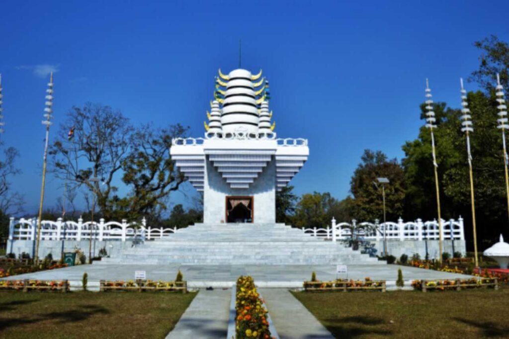
Manipur, historically known as Kangleipak, is a captivating state nestled in northeastern India, where Imphal stands proudly as the capital city. Surrounded by Nagaland to the north, Mizoram to the south, and Assam to the west, Manipur also shares its borders with Myanmar’s Sagaing Region to the east and Chin State to the south. Spanning across 22,327 square kilometers, it’s a land of rich diversity. The Meitei language, officially called Manipuri, is both the state’s official and most widely spoken language. With a history spanning over 2,500 years, Manipur has served as a cultural and economic bridge between South Asia, Central Asia, Southeast Asia, East Asia, Siberia, the Arctic, Micronesia, and Polynesia, fostering the exchange of people, cultures, and religions.
History
The history of Manipur’s Meitei community is preserved in ancient texts known as Puyas or Puwaris, which recount the stories of their forefathers. These include Ninghthou Kangbalon, Cheitharol Kumbaba, Ningthourol Lambuba, Poireiton Khunthokpa, Panthoibi Khongkul, and others, all written in the archaic Meitei script, reminiscent of the Thai script. These historical accounts were documented by Meitei kings and Maichou (Meitei scholars). Besides, hill tribes have their own rich repository of folk tales, myths, and legends. Manipur had various names throughout its history, like Tilli-Koktong, Poirei-Lam, Sanna-Leipak, and Meitrabak, with Kangla, Yumphal, or Imphal as its capital. The people were referred to as Mi-tei, Poirei-Mitei, Meetei, Maitei, or Meitei.
Demography
According to the 2011 census, Manipur has a population of 2,855,794. The demographics are diverse, with 57.2% residing in the valley districts, primarily home to the Meitei-speaking population, the native Manipuri speakers. The remaining 42.8% inhabit the hill districts, where various ethno-linguistic tribes such as the Nagas and Kukis are prominent, along with smaller tribal groups. While Naga and Kuki settlements can be found in the valley region, they are fewer in number. Additionally, Manipur hosts a significant population of Nepalis, Bengalis, Tamils, and Marwaris, contributing to the state’s rich cultural tapestry and diversity.
Geography
Situated in northeastern India, Manipur spans from approximately 23°83’N to 25°68’N latitude and 93°03’E to 94°78’E longitude. Covering a land area of 22,327 square kilometers (8,621 square miles), the state is a picturesque landscape. Its capital, nestled in an oval-shaped valley measuring around 700 square miles (2,000 square kilometers), is encircled by majestic blue mountains, standing at an elevation of 790 meters (2,590 feet) above sea level. The valley slopes gently from north to south. These mountain ranges contribute to a temperate climate by shielding the valley from harsh northern winds and preventing cyclonic storms. Manipur shares borders with Nagaland, Mizoram, and Assam, while also sharing an international boundary with Myanmar to the east.
Economy
In the fiscal year 2012–2013, Manipur’s gross state domestic product (GSDP) at market prices reached approximately ₹10,188 crore (US$1.3 billion). The state’s economy is predominantly driven by agriculture, forestry, cottage industries, and trade. Notably, Manipur serves as India’s crucial “Gateway to the East” due to the strategic Moreh and Tamu towns. These locations serve as vital land routes for trade between India, Burma, and various countries in Southeast Asia, East Asia, Siberia, the Arctic, Micronesia, and Polynesia. Furthermore, Manipur boasts the highest concentration of handicraft units and skilled craftspersons in the entire northeastern region of India, contributing significantly to its economic vibrancy.