Pincodes of Akola
Akola Pincodes on “Pincodes of My Location” Website
Welcome to our comprehensive guide on Akola pincodes! Akola, a vibrant city in Maharashtra, India, boasts a wide range of postal codes that help streamline mail and courier deliveries. Whether you’re a resident, a business owner, or simply passing through, our website is your go-to resource for all Akola pincodes. Easily find the specific code you need for your area, ensuring efficient postal services and hassle-free navigation. From residential neighborhoods to commercial hubs, we’ve got you covered. Stay connected with the Akola community, discover nearby services, and make the most of your location with our user-friendly pincodes directory.
Here is a list of Akola Pincodes
| No. | Location | Pincode | District | State |
|---|---|---|---|---|
| 1 | Akola | 444001 | Akola | Maharashtra |
| 2 | Akola City | 444002 | Akola | Maharashtra |
| 3 | Akot | 444101 | Akola | Maharashtra |
| 4 | Apoti | 444003 | Akola | Maharashtra |
| 5 | Babhulgaon | 444501 | Akola | Maharashtra |
| 6 | Babhulgaon Jahangir | 444104 | Akola | Maharashtra |
| 7 | Balapur | 444302 | Akola | Maharashtra |
| 8 | Balegaon | 444117 | Akola | Maharashtra |
| 9 | Barshitakli | 444401 | Akola | Maharashtra |
| 10 | Bhandaraj | 444501 | Akola | Maharashtra |
| 11 | Bhar | 444506 | Akola | Maharashtra |
| 12 | Bhendi Mahal | 444407 | Akola | Maharashtra |
| 13 | Borgaon Kd | 444407 | Akola | Maharashtra |
| 14 | Borgaon Manju | 444102 | Akola | Maharashtra |
| 15 | Channi | 444501 | Akola | Maharashtra |
| 16 | Chatari | 444501 | Akola | Maharashtra |
| 17 | Chohatta | 444125 | Akola | Maharashtra |
| 18 | Dahihanda | 444111 | Akola | Maharashtra |
| 19 | Dapura | 444003 | Akola | Maharashtra |
| 20 | Deulgaon Bramhan | 444501 | Akola | Maharashtra |
| 21 | Digras | 444501 | Akola | Maharashtra |
| 22 | Dongargaon | 444104 | Akola | Maharashtra |
| 23 | Donwada | 444003 | Akola | Maharashtra |
| 24 | Gandhinagar | 444004 | Akola | Maharashtra |
| 25 | Gawandgaon | 444501 | Akola | Maharashtra |
| 26 | Ghusar | 444003 | Akola | Maharashtra |
| 27 | Hatola | 444405 | Akola | Maharashtra |
| 28 | Jamakeshwar | 444405 | Akola | Maharashtra |
| 29 | Januna | 444405 | Akola | Maharashtra |
| 30 | Jatherpeth Akola | 444005 | Akola | Maharashtra |
| 31 | Kaulkhed | 444004 | Akola | Maharashtra |
| 32 | Khanapur | 444501 | Akola | Maharashtra |
| 33 | Kherda Bhagai | 444407 | Akola | Maharashtra |
| 34 | Khetri | 444501 | Akola | Maharashtra |
| 35 | Kothali | 444405 | Akola | Maharashtra |
| 36 | Krishinagar Akola | 444104 | Akola | Maharashtra |
| 37 | Mahan | 444405 | Akola | Maharashtra |
| 38 | Malrajura | 444501 | Akola | Maharashtra |
| 39 | Malsoor | 444501 | Akola | Maharashtra |
| 40 | Mathodi | 444003 | Akola | Maharashtra |
| 41 | Mhaisang | 444003 | Akola | Maharashtra |
| 42 | Midc Shivar | 444104 | Akola | Maharashtra |
| 43 | Mundgaon | 444117 | Akola | Maharashtra |
| 44 | Pathardi | 444117 | Akola | Maharashtra |
| 45 | Patur | 444501 | Akola | Maharashtra |
| 46 | Patur Nandapur | 444407 | Akola | Maharashtra |
| 47 | Pimpalkhuta | 444501 | Akola | Maharashtra |
| 48 | Pinjar | 444407 | Akola | Maharashtra |
| 49 | Rahit | 444407 | Akola | Maharashtra |
| 50 | Ramdaspeth Akola | 444001 | Akola | Maharashtra |
| 51 | Ranpisenagar Akola | 444001 | Akola | Maharashtra |
| 52 | Rpts Akola | 444002 | Akola | Maharashtra |
| 53 | Sasti | 444501 | Akola | Maharashtra |
| 54 | Sawargaon | 444501 | Akola | Maharashtra |
| 55 | Shirla Andhare | 444501 | Akola | Maharashtra |
| 56 | Shivaji Park akola | 444003 | Akola | Maharashtra |
| 57 | Shoni | 444104 | Akola | Maharashtra |
| 58 | Tajnapeth Akola | 444006 | Akola | Maharashtra |
| 59 | Tandali | 444501 | Akola | Maharashtra |
| 60 | Tilak Road akola | 444001 | Akola | Maharashtra |
| 61 | Titwa | 444405 | Akola | Maharashtra |
| 62 | Tulanga Bk | 444501 | Akola | Maharashtra |
| 63 | Umara Balapur | 444501 | Akola | Maharashtra |
| 64 | Viwara | 444501 | Akola | Maharashtra |
| 65 | Wadad | 444003 | Akola | Maharashtra |
| 66 | Wagha | 444405 | Akola | Maharashtra |
| 67 | Zodga | 444405 | Akola | Maharashtra |
About Akola District
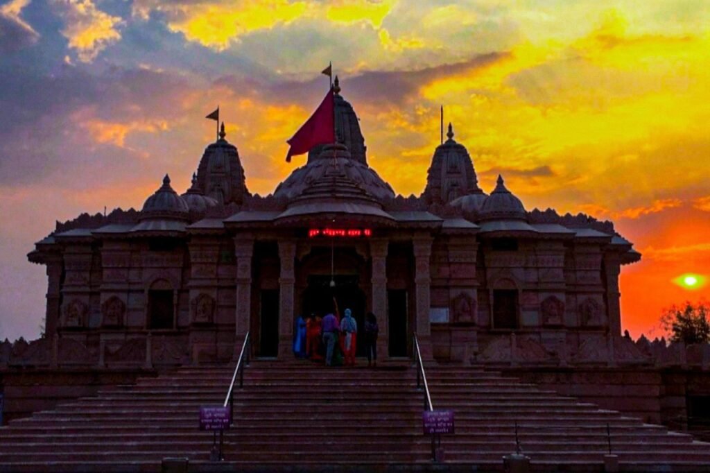
Akola, situated in the Vidarbha Region of Maharashtra, stands as a prominent urban center. Governed by a Municipal Corporation, it ranks third in size among Eastern Maharashtra cities, following Nagpur and Amravati. Located approximately 580 kilometers east of the state capital, Mumbai, and 250 kilometers west of Nagpur, the city plays a pivotal role in the region’s landscape. Notably, Akola serves as the administrative hub of the Akola district within the Amravati division, facilitating efficient governance and public services in the area. Explore this dynamic city’s cultural, economic, and administrative significance as you delve into its unique characteristics.
History
Akola’s historical narrative intertwines with the rich tapestry of Indian history. Referenced in ancient texts like the Mahabharata, it was initially a part of the Berar province and the legendary kingdom of Vidarbha. However, in the early 14th century, the region witnessed the advent of Muslim rule under Alauddin Khalji, Sultan of Delhi. Subsequently, Akola became a pivotal domain within the Bahmani Sultanate after it separated from the Delhi Sultanate in the mid-14th century. As time passed, the Bahmani Sultanate fragmented into smaller sultanates, and in 1572, Akola became an integral part of the Nizam Shahi sultanate, centered in Ahmednagar. Explore Akola’s historical journey through the annals of time.
Demography
As per the 2011 Census of India, Akola City was home to a population of 427,146, covering an area spanning approximately 128 square kilometers (49 square miles). Subsequently, in August 2016, following a significant expansion of the city’s municipal limits, the population surged to a recorded figure of 537,137. This demographic shift reflects Akola’s evolving urban landscape, marked by growth and development. Explore the city’s changing dynamics, as it continues to attract residents and expand its boundaries, contributing to its status as a vibrant and thriving urban center in Maharashtra, India.
Geography
Akola district is situated in the northern plains of the Deccan Plateau, characterized by predominantly flat terrain interspersed with occasional hills and mounds. Notable exceptions include the Ajintha (Ajanta) mountain ranges in the southern tehsils of Patur and Barshi Takli, as well as the Satpuda mountain range, which extends into portions of the northern tehsils of Akot and Telhara. The district’s elevation gradually descends as one moves from the north to the central region but steadily ascends as they proceed southward from the center. The highest point within the district is nestled within the hill-fort of Narnala, reaching an elevation of 932 meters above sea level.
Economy
The Akola district thrives on the cultivation of dominant crops such as cotton and jawar. It also witnesses a proliferation of oil and dal mills, contributing significantly to its economic landscape. With a predominantly agriculture-based economy, the district’s prosperity is deeply intertwined with farming activities. In recent times, the cultivation of soybeans has gained substantial importance, as the region has witnessed the establishment of major soybean processing plants. This emergence of soybean as a key crop underscores the district’s adaptability to changing agricultural trends and the potential for diversification in its agricultural sector.
FAQs
Which hill station is near to amaravati?
The main crop of Akola is cotton, although other important crops like jawar and soybeans are also cultivated in the region.
What is the Favourite food of Akola?
Akola, like many regions in Maharashtra, has a rich culinary tradition. One of its favorite foods is the traditional Maharashtrian dish "Puran Poli," a sweet flatbread filled with a lentil and jaggery mixture.
Which fruits are famous in Akola?
Akola is known for its production of delicious oranges, often referred to as "Akola Santra." These oranges are famous for their sweet and tangy flavor and are a regional specialty.
What is the flora of Akola district?
The flora of Akola district in Maharashtra includes a variety of trees and plants such as neem, tamarind, mango, banyan, teak, and various types of shrubs and grasses typical of the region.