Pincodes of Damoh
Damoh, a city in Madhya Pradesh, India, is a place of historical and cultural significance. It’s known for its unique blend of tradition and modernity. Explore Damoh pincodes to locate specific areas and destinations in this charming city. Whether you’re sending mail, searching for a particular spot, or just curious about this region, our Damoh pincodes guide is here to assist you. Discover the city’s rich heritage, vibrant markets, and friendly locals, all while easily navigating its various neighborhoods using the provided pincodes. Dive into the heart of Damoh and unlock its hidden treasures with our user-friendly platform.
Here is a list of Damoh Pincodes
| No. | Location | Pincode | District | State |
|---|---|---|---|---|
| 1 | Abhana | 470662 | Damoh | Madhya Pradesh |
| 2 | Agara | 470673 | Damoh | Madhya Pradesh |
| 3 | Ajni | 470673 | Damoh | Madhya Pradesh |
| 4 | Amakheda | 470771 | Damoh | Madhya Pradesh |
| 5 | Anu | 470771 | Damoh | Madhya Pradesh |
| 6 | Aslana | 470675 | Damoh | Madhya Pradesh |
| 7 | Badagaon | 470661 | Damoh | Madhya Pradesh |
| 8 | Bakayan | 470673 | Damoh | Madhya Pradesh |
| 9 | Bakeni | 470661 | Damoh | Madhya Pradesh |
| 10 | Balakot | 470672 | Damoh | Madhya Pradesh |
| 11 | Ballarpur | 470664 | Damoh | Madhya Pradesh |
| 12 | Bamorimala | 470663 | Damoh | Madhya Pradesh |
| 13 | Bandakpur | 470664 | Damoh | Madhya Pradesh |
| 14 | Bandha | 470775 | Damoh | Madhya Pradesh |
| 15 | Bangaon | 470661 | Damoh | Madhya Pradesh |
| 16 | Bansa Tarkheda | 470672 | Damoh | Madhya Pradesh |
| 17 | Banwar | 470664 | Damoh | Madhya Pradesh |
| 18 | Bardha | 470775 | Damoh | Madhya Pradesh |
| 19 | Bari Kanora | 470775 | Damoh | Madhya Pradesh |
| 20 | Barkhera Bais | 470772 | Damoh | Madhya Pradesh |
| 21 | Baroda Kalan | 470775 | Damoh | Madhya Pradesh |
| 22 | Batiagarh | 470673 | Damoh | Madhya Pradesh |
| 23 | Belai | 470661 | Damoh | Madhya Pradesh |
| 24 | Bhaisa | 470775 | Damoh | Madhya Pradesh |
| 25 | Bhajiya | 470881 | Damoh | Madhya Pradesh |
| 26 | Bhartala | 470772 | Damoh | Madhya Pradesh |
| 27 | Bhatia | 470775 | Damoh | Madhya Pradesh |
| 28 | Bhiloni | 470775 | Damoh | Madhya Pradesh |
| 29 | Bhuri | 470661 | Damoh | Madhya Pradesh |
| 30 | Bijadongary | 470661 | Damoh | Madhya Pradesh |
| 31 | Bilani | 470666 | Damoh | Madhya Pradesh |
| 32 | Binti | 470775 | Damoh | Madhya Pradesh |
| 33 | Bisnakheda | 470661 | Damoh | Madhya Pradesh |
| 34 | Botrai | 470666 | Damoh | Madhya Pradesh |
| 35 | Chaupra | 470663 | Damoh | Madhya Pradesh |
| 36 | Chaurai Kalumar | 470881 | Damoh | Madhya Pradesh |
| 37 | Chewala | 470772 | Damoh | Madhya Pradesh |
| 38 | Chirola | 470675 | Damoh | Madhya Pradesh |
| 39 | Damoh | 470661 | Damoh | Madhya Pradesh |
| 40 | Damoh Bazaria | 470661 | Damoh | Madhya Pradesh |
| 41 | Damoh City | 470661 | Damoh | Madhya Pradesh |
| 42 | Damoh Civil ward | 470661 | Damoh | Madhya Pradesh |
| 43 | Damoh Collectrate | 470661 | Damoh | Madhya Pradesh |
| 44 | Damoh Phutera ward | 470661 | Damoh | Madhya Pradesh |
| 45 | Damoh R s | 470661 | Damoh | Madhya Pradesh |
| 46 | Deodongra | 470772 | Damoh | Madhya Pradesh |
| 47 | Deori Fatehpur | 470775 | Damoh | Madhya Pradesh |
| 48 | Deori Jmadar | 470880 | Damoh | Madhya Pradesh |
| 49 | Dhangaur Kalan | 470880 | Damoh | Madhya Pradesh |
| 50 | Dinari | 470880 | Damoh | Madhya Pradesh |
| 51 | Emaliya Lanji | 470672 | Damoh | Madhya Pradesh |
| 52 | Emlai | 470661 | Damoh | Madhya Pradesh |
| 53 | Fatehpur | 470775 | Damoh | Madhya Pradesh |
| 54 | Gaisabad | 470775 | Damoh | Madhya Pradesh |
| 55 | Ghat Pipariya | 470664 | Damoh | Madhya Pradesh |
| 56 | Ghatera | 470664 | Damoh | Madhya Pradesh |
| 57 | Gubra Kalan | 470881 | Damoh | Madhya Pradesh |
| 58 | Gunji | 470771 | Damoh | Madhya Pradesh |
| 59 | Hardua Mangarh | 470664 | Damoh | Madhya Pradesh |
| 60 | Harduya Sadak | 470663 | Damoh | Madhya Pradesh |
| 61 | Hathana | 470672 | Damoh | Madhya Pradesh |
| 62 | Hatta | 470775 | Damoh | Madhya Pradesh |
| 63 | Hatta Bazariya | 470775 | Damoh | Madhya Pradesh |
| 64 | Hindoriya | 470771 | Damoh | Madhya Pradesh |
| 65 | Hinota Kalan | 470775 | Damoh | Madhya Pradesh |
| 66 | Hinoti Putrighat | 470880 | Damoh | Madhya Pradesh |
| 67 | Jabera | 470881 | Damoh | Madhya Pradesh |
| 68 | Jerath | 470666 | Damoh | Madhya Pradesh |
| 69 | Jhlaun | 470880 | Damoh | Madhya Pradesh |
| 70 | Jortala | 470661 | Damoh | Madhya Pradesh |
| 71 | Jujhar | 470664 | Damoh | Madhya Pradesh |
| 72 | Kaikheda | 470775 | Damoh | Madhya Pradesh |
| 73 | Kaithora | 470673 | Damoh | Madhya Pradesh |
| 74 | Kalehrakheda | 470663 | Damoh | Madhya Pradesh |
| 75 | Kandipur | 470771 | Damoh | Madhya Pradesh |
| 76 | Kanti | 470775 | Damoh | Madhya Pradesh |
| 77 | Karanpura | 470881 | Damoh | Madhya Pradesh |
| 78 | Kerwana | 470673 | Damoh | Madhya Pradesh |
| 79 | Kevlari | 470666 | Damoh | Madhya Pradesh |
| 80 | Khaderi | 470673 | Damoh | Madhya Pradesh |
| 81 | Khajari | 470661 | Damoh | Madhya Pradesh |
| 82 | Khamriya Ajitpur | 470880 | Damoh | Madhya Pradesh |
| 83 | Khamriya Mojilal | 470661 | Damoh | Madhya Pradesh |
| 84 | Khojakhedi | 470661 | Damoh | Madhya Pradesh |
| 85 | Kindroh | 470666 | Damoh | Madhya Pradesh |
| 86 | Kishangarh | 470675 | Damoh | Madhya Pradesh |
| 87 | Kodakalan | 470881 | Damoh | Madhya Pradesh |
| 88 | Korta | 470881 | Damoh | Madhya Pradesh |
| 89 | Kuakheda | 470661 | Damoh | Madhya Pradesh |
| 90 | Kuakheda Bazi | 470775 | Damoh | Madhya Pradesh |
| 91 | Kuarpur | 470775 | Damoh | Madhya Pradesh |
| 92 | Kudai | 470772 | Damoh | Madhya Pradesh |
| 93 | Kumeriya | 470672 | Damoh | Madhya Pradesh |
| 94 | Kumhari | 470664 | Damoh | Madhya Pradesh |
| 95 | Kundalpur | 470772 | Damoh | Madhya Pradesh |
| 96 | Kusmi Mangarh | 470881 | Damoh | Madhya Pradesh |
| 97 | Lakhni | 470663 | Damoh | Madhya Pradesh |
| 98 | Lakhroni | 470666 | Damoh | Madhya Pradesh |
| 99 | Ludhora | 470775 | Damoh | Madhya Pradesh |
| 100 | Luhari | 470775 | Damoh | Madhya Pradesh |
| 101 | Madankheda | 470880 | Damoh | Madhya Pradesh |
| 102 | Madiyado | 470775 | Damoh | Madhya Pradesh |
| 103 | Magron | 470775 | Damoh | Madhya Pradesh |
| 104 | Majhguya Hansraj | 470664 | Damoh | Madhya Pradesh |
| 105 | Mangola | 470673 | Damoh | Madhya Pradesh |
| 106 | Mankaura | 470675 | Damoh | Madhya Pradesh |
| 107 | Marutal | 470661 | Damoh | Madhya Pradesh |
| 108 | Mojipura | 470663 | Damoh | Madhya Pradesh |
| 109 | Mudia | 470661 | Damoh | Madhya Pradesh |
| 110 | Muharai | 470775 | Damoh | Madhya Pradesh |
| 111 | Muraj | 470775 | Damoh | Madhya Pradesh |
| 112 | Nandrai | 470666 | Damoh | Madhya Pradesh |
| 113 | Narsingarh | 470675 | Damoh | Madhya Pradesh |
| 114 | Nohata | 470663 | Damoh | Madhya Pradesh |
| 115 | Padrai | 470772 | Damoh | Madhya Pradesh |
| 116 | Pandajhir | 470775 | Damoh | Madhya Pradesh |
| 117 | Pashwaha | 470664 | Damoh | Madhya Pradesh |
| 118 | Patera | 470772 | Damoh | Madhya Pradesh |
| 119 | Pateriya | 470664 | Damoh | Madhya Pradesh |
| 120 | Pathariya | 470666 | Damoh | Madhya Pradesh |
| 121 | Patna Bhangarh | 470664 | Damoh | Madhya Pradesh |
| 122 | Patnakuya | 470881 | Damoh | Madhya Pradesh |
| 123 | Patnaraja | 470880 | Damoh | Madhya Pradesh |
| 124 | Phutera Kalan | 470673 | Damoh | Madhya Pradesh |
| 125 | Piparia Champat | 470675 | Damoh | Madhya Pradesh |
| 126 | Pipariya Tikari | 470664 | Damoh | Madhya Pradesh |
| 127 | Podimangarh | 470881 | Damoh | Madhya Pradesh |
| 128 | Pura | 470880 | Damoh | Madhya Pradesh |
| 129 | Rajpura | 470775 | Damoh | Madhya Pradesh |
| 130 | Ramgarh | 470880 | Damoh | Madhya Pradesh |
| 131 | Raneh | 470775 | Damoh | Madhya Pradesh |
| 132 | Rasilpur | 470662 | Damoh | Madhya Pradesh |
| 133 | Road | 470663 | Damoh | Madhya Pradesh |
| 134 | Sadguya | 470661 | Damoh | Madhya Pradesh |
| 135 | Sadpur | 470775 | Damoh | Madhya Pradesh |
| 136 | Sakha | 470663 | Damoh | Madhya Pradesh |
| 137 | Salaiya | 470664 | Damoh | Madhya Pradesh |
| 138 | Salwada | 470880 | Damoh | Madhya Pradesh |
| 139 | Samnapur | 470880 | Damoh | Madhya Pradesh |
| 140 | Sanga | 470880 | Damoh | Madhya Pradesh |
| 141 | Sankuya | 470775 | Damoh | Madhya Pradesh |
| 142 | Sarkhadi | 470672 | Damoh | Madhya Pradesh |
| 143 | Sarra | 470880 | Damoh | Madhya Pradesh |
| 144 | Sarsawagali | 470880 | Damoh | Madhya Pradesh |
| 145 | Satpara | 470666 | Damoh | Madhya Pradesh |
| 146 | Semra Madia | 470661 | Damoh | Madhya Pradesh |
| 147 | Sigrampur | 470881 | Damoh | Madhya Pradesh |
| 148 | Singpur | 470881 | Damoh | Madhya Pradesh |
| 149 | Sitanagar | 470675 | Damoh | Madhya Pradesh |
| 150 | Sojna | 470775 | Damoh | Madhya Pradesh |
| 151 | Suhela | 470880 | Damoh | Madhya Pradesh |
| 152 | Sukha | 470666 | Damoh | Madhya Pradesh |
| 153 | Taradehi | 470880 | Damoh | Madhya Pradesh |
| 154 | Tejgarh | 470880 | Damoh | Madhya Pradesh |
| 155 | Tendukheda | 470880 | Damoh | Madhya Pradesh |
| 156 | Teoriya | 470775 | Damoh | Madhya Pradesh |
| 157 | Tindua | 470673 | Damoh | Madhya Pradesh |
| 158 | Umari | 470661 | Damoh | Madhya Pradesh |
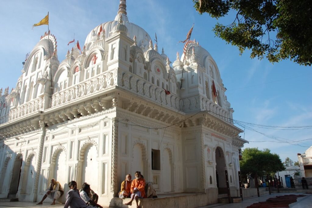
About Damoh
Damoh District, situated in central India within the state of Madhya Pradesh, has its administrative center in the town of Damoh. This district is a constituent of the Sagar Division.
History:
The history of Damoh District, located in the central Indian state of Madhya Pradesh, is a rich tapestry of cultural, historical, and geographical influences. During the medieval period, Damoh was an integral part of the Chandela kingdom, known for its magnificent temples, including those at Khajuraho. The Chandela dynasty left a lasting architectural legacy in the district.
In the 16th century, the region came under the control of the Mughal Empire, contributing to its cultural diversity. Later, it saw the influence of the Marathas and various regional powers.
In the 19th century, Damoh became a part of British India, playing a significant role during the Indian freedom struggle. Prominent freedom fighters emerged from this district, actively participating in movements against British colonial rule.
After India gained independence in 1947, Damoh District continued to thrive and develop as an important administrative, cultural, and economic center in Madhya Pradesh. Its diverse culture, historical landmarks, and natural beauty continue to attract tourists and researchers, providing a window into its fascinating history. Today, Damoh District stands as a testament to its enduring heritage and resilience.
Geography:
The geography of Damoh District in Madhya Pradesh, India, is characterized by its diverse topography, natural features, and climate. Situated in central India, Damoh has a varied landscape that includes plains, hills, and rivers.
The district is located on the Vindhya Range, which imparts a hilly terrain to the southern and southwestern parts of the region. The Bagh and Ken rivers flow through the district, providing a vital water source and contributing to the fertility of the land.
The district’s geography supports a variety of vegetation, including forests and agricultural lands. The Ken Gharial Wildlife Sanctuary, located in Damoh, is home to various wildlife species.
Agriculture is a significant part of Damoh’s economy, with crops like soybeans, wheat, and pulses being cultivated. The district’s geographical diversity, with its hills and rivers, contributes to the fertility of the soil and sustains agriculture.
Economy:
In 2006, Damoh was designated as one of India’s 250 most underdeveloped districts out of a total of 640 by the Ministry of Panchayati Raj. Currently, Damoh is among the 24 districts in Madhya Pradesh that are beneficiaries of the Backward Regions Grant Fund Programme (BRGF), aimed at fostering development in these areas.
Demographics:
As per the 2011 census data, Damoh District had a population of 1,264,219 residents, which ranked it 383rd among all districts in India. The population density in the district was recorded at 173 individuals per square kilometer. Damoh also exhibited a sex ratio of 913 females for every 1000 males and a literacy rate of 70.92%. Approximately 19.82% of the population resided in urban areas.
During the 2011 Census of India, it was found that 68.63% of the district’s population spoke Hindi, while 30.27% identified Bundeli as their primary language.