Pincodes of East Sikkim
Greetings and welcome to the East Sikkim Pincodes directory, your reliable source for precise and current pincode data in the stunning state of East Sikkim. Postal Index Numbers (PINs), sometimes referred to as pincodes, are crucial for effective mail delivery, location tracking, and smooth communication. Their service facilitates the sending and receiving of mail, parcels, and packages by assigning a unique code to each geographic location. You can instantly get the pincode for any location in East Sikkim by using our easy-to-use search engine.
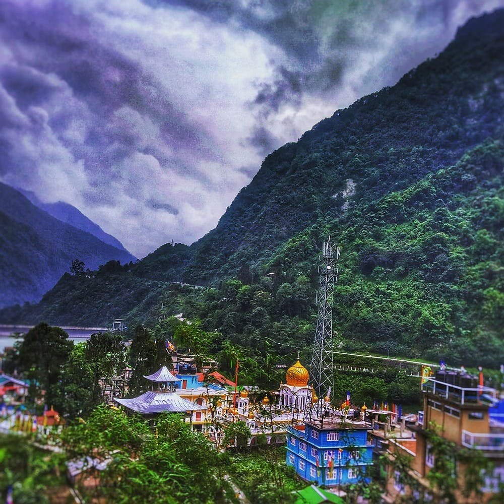
Here is a list of East Sikkim Pincodes
No. | Location | Pincode | District | State |
---|---|---|---|---|
1 | Ahoo Busty | 737135 | East Sikkim | Sikkim |
2 | Amba | 737133 | East Sikkim | Sikkim |
3 | Aritar | 737133 | East Sikkim | Sikkim |
4 | Assam Lingzey | 737135 | East Sikkim | Sikkim |
5 | Bardang | 737134 | East Sikkim | Sikkim |
6 | Bering | 737106 | East Sikkim | Sikkim |
7 | Bermiok | 737134 | East Sikkim | Sikkim |
8 | Beyong | 737134 | East Sikkim | Sikkim |
9 | Bhusuk | 737103 | East Sikkim | Sikkim |
10 | Bojoghari | 737103 | East Sikkim | Sikkim |
11 | Changayshanti | 737106 | East Sikkim | Sikkim |
12 | Chujachen | 737131 | East Sikkim | Sikkim |
13 | Dalapchand | 737131 | East Sikkim | Sikkim |
14 | Deorali | 737102 | East Sikkim | Sikkim |
15 | Dhajey | 737102 | East Sikkim | Sikkim |
16 | Dikchu | 737107 | East Sikkim | Sikkim |
17 | Dipudara Nhpc complex | 737134 | East Sikkim | Sikkim |
18 | Duga | 737132 | East Sikkim | Sikkim |
19 | East Pendam | 737132 | East Sikkim | Sikkim |
20 | Gangkha Busty | 737134 | East Sikkim | Sikkim |
21 | Gangtok | 737101 | East Sikkim | Sikkim |
22 | Gangtok Bazar | 737101 | East Sikkim | Sikkim |
23 | Gnathang | 737102 | East Sikkim | Sikkim |
24 | Gor | 737107 | East Sikkim | Sikkim |
25 | Karthok | 737106 | East Sikkim | Sikkim |
26 | Kateng Bokrang | 737132 | East Sikkim | Sikkim |
27 | Khamdong | 737134 | East Sikkim | Sikkim |
28 | Kokalay | 737134 | East Sikkim | Sikkim |
29 | Kyanglasha | 737102 | East Sikkim | Sikkim |
30 | Latuk | 737131 | East Sikkim | Sikkim |
31 | Lingdok | 737103 | East Sikkim | Sikkim |
32 | Lingdum | 737102 | East Sikkim | Sikkim |
33 | Lingee | 737134 | East Sikkim | Sikkim |
34 | Lingmoo | 737134 | East Sikkim | Sikkim |
35 | Lingtam | 737131 | East Sikkim | Sikkim |
36 | Lingzey | 737134 | East Sikkim | Sikkim |
37 | Linkey | 737106 | East Sikkim | Sikkim |
38 | Luing | 737103 | East Sikkim | Sikkim |
39 | Lumlingthyang | 737107 | East Sikkim | Sikkim |
40 | Lunsing | 737134 | East Sikkim | Sikkim |
41 | Majitar | 737135 | East Sikkim | Sikkim |
42 | Makha | 737138 | East Sikkim | Sikkim |
43 | Mamring | 737132 | East Sikkim | Sikkim |
44 | Maney Dara | 737132 | East Sikkim | Sikkim |
45 | Middle Camp | 737135 | East Sikkim | Sikkim |
46 | Namcheybong | 737106 | East Sikkim | Sikkim |
47 | Namphing | 737134 | East Sikkim | Sikkim |
48 | Namthang | 737132 | East Sikkim | Sikkim |
49 | Nandok | 737135 | East Sikkim | Sikkim |
50 | Nazitam | 737134 | East Sikkim | Sikkim |
51 | Neya | 737134 | East Sikkim | Sikkim |
52 | North Regu | 737131 | East Sikkim | Sikkim |
53 | Pabyiok | 737102 | East Sikkim | Sikkim |
54 | Pacheykhani | 737106 | East Sikkim | Sikkim |
55 | Pakyong | 737106 | East Sikkim | Sikkim |
56 | Parkha | 737131 | East Sikkim | Sikkim |
57 | Penlong | 737103 | East Sikkim | Sikkim |
58 | Phadamchen | 737131 | East Sikkim | Sikkim |
59 | Rajbhawan | 737103 | East Sikkim | Sikkim |
60 | Rakdong | 737107 | East Sikkim | Sikkim |
61 | Raley Khesey | 737107 | East Sikkim | Sikkim |
62 | Rangli Bazar | 737131 | East Sikkim | Sikkim |
63 | Rangpo | 737132 | East Sikkim | Sikkim |
64 | Ranipool | 737135 | East Sikkim | Sikkim |
65 | Rautey-rumtek | 737135 | East Sikkim | Sikkim |
66 | Ray-mindu | 737135 | East Sikkim | Sikkim |
67 | Rhenock | 737133 | East Sikkim | Sikkim |
68 | Rolep | 737131 | East Sikkim | Sikkim |
69 | Rorathang | 737133 | East Sikkim | Sikkim |
70 | Rumtek | 737135 | East Sikkim | Sikkim |
71 | Sakhu Busty | 737134 | East Sikkim | Sikkim |
72 | Samdong | 737107 | East Sikkim | Sikkim |
73 | Samdur | 737102 | East Sikkim | Sikkim |
74 | Samlick-marchak | 737135 | East Sikkim | Sikkim |
75 | Sangkhola | 737134 | East Sikkim | Sikkim |
76 | Sherathang | 737102 | East Sikkim | Sikkim |
77 | Shivalaya Mandir lingsey | 737133 | East Sikkim | Sikkim |
78 | Sichey Gaon | 737101 | East Sikkim | Sikkim |
79 | Sinchuthang | 737134 | East Sikkim | Sikkim |
80 | Singtam | 737134 | East Sikkim | Sikkim |
81 | Song | 737134 | East Sikkim | Sikkim |
82 | South Regu | 737131 | East Sikkim | Sikkim |
83 | Sudunglakha | 737133 | East Sikkim | Sikkim |
84 | Sumin | 737134 | East Sikkim | Sikkim |
85 | Tadong | 737102 | East Sikkim | Sikkim |
86 | Tarku | 737134 | East Sikkim | Sikkim |
87 | Tashiling | 737103 | East Sikkim | Sikkim |
88 | Taza | 737133 | East Sikkim | Sikkim |
89 | Temi Tarku | 737134 | East Sikkim | Sikkim |
90 | Tshalamthang | 737106 | East Sikkim | Sikkim |
91 | Tumin | 737134 | East Sikkim | Sikkim |
92 | Turung | 737132 | East Sikkim | Sikkim |
93 | Upper Dalapchand | 737133 | East Sikkim | Sikkim |
94 | Upper Khamdong | 737133 | East Sikkim | Sikkim |
95 | Upper Martam | 737135 | East Sikkim | Sikkim |
96 | Upper Pendam | 737132 | East Sikkim | Sikkim |
97 | West Pendam | 737134 | East Sikkim | Sikkim |
98 | Yangyang | 737134 | East Sikkim | Sikkim |
About East Sikkim
An administrative district of the Indian state of Sikkim is called Gangtok District. It was given a new name in 2021 as a result of the state’s administrative restructuring, which also saw three East Sikkim district subdivisions split off to form the Pakyong district. Gangtok, the state capital, serves as the seat of the Gangtok district. Gangtok serves as the center of the state’s administrative operations. The district is bordered by the People’s Republic of China in the northeast, Namchi District in the west, Pakyong District in the south and southeast, Mangan District in the north, and Bhutan in the east.
History
For the majority of its history, East Sikkim was a component of the Sikkim monarchy. The district was ruled by the Bhutanese throughout the 1800s. Following the Anglo-Bhutan War, the region was essentially ruled by British forces. The region was under Indian protection as part of the kingdom of Sikkim following India’s independence in 1947. A few clashes between China and India occurred along the Nathula Pass during the 1962 Sino-Indian War. Sikkim officially joined the Indian Union as the 22nd state of India in 1975.
Geography
The district is 560 square kilometer (220 sq mi) in size. East Sikkim has two significant mountain crossings that link the state with China: Nathula and Jelepla. From a military perspective, the district is extremely delicate, with the Indian army controlling much of the territory east of Gangtok and close to its borders with Bhutan and the People’s Republic of China. Only a small portion of the lands east of Gangtok are accessible to tourists, and access to this region is restricted.
Demography
As to the 2011 census, the combined population of East Sikkim and Pakyong districts is 283,583, which is almost equivalent to the population of Barbados. As a result, it is ranked 574th in India. The population density of the district is 295 people per square kilometer, or 760 people per square mile. From 2001 to 2011, the population grew at a pace of 14.79%. East Sikkim has an 84.67% literacy rate and a sex ratio of 872 females for every 1000 males.
Climate
The district’s climate can be broadly classified into three zones: tropical, temperate, and alpine. Because there is rainfall every month, the weather is typically cold and muggy for the majority of the year. Because to its closeness to the Bay of Bengal, the area receives a lot of rainfall. Everywhere you look, the general tendency of rising altitude and falling temperature is true. April through May sees pre-monsoon rains, while May marks the start of the regular south-west monsoon, which lasts until early October.
Administration
The East District was established as an Administrative District alone in 1973. Prior to that, it was a part of the East Zone (region), since the Sikkim State was then split into the East and West administrative zones. Revenue Officers chosen by Chogyal, the then-king of Sikkim, controlled each zone, while tribal authorities such as Mandal heads, Zonepals at the district level, Yaplas feudal landowners, and Pipon (head men) handled the administration of justice.