Pincodes of Hardoi
Welcome to our Hardoi Pincodes database, your trusted source for locating the postal index numbers (PIN codes) of various localities in Hardoi, India’s historic city located in the northern state of Uttar Pradesh. Hardoi University is well-known for its rich cultural legacy, historical significance, and thriving communities. PIN codes are an essential component of the postal system, ensuring accurate sorting and delivery of mail and parcels. Each settlement in Hardoi is allocated a unique PIN code, which allows postal services to correctly route and deliver mail to its intended recipients. Using the correct PIN code is critical for guaranteeing fast and accurate mail delivery.
Here is a list of Hardoi Pincodes
| Location | Pincode | District | State |
|---|---|---|---|
| Aihrori | 241121 | Hardoi | Uttar Pradesh |
| Atia Sahpur | 241204 | Hardoi | Uttar Pradesh |
| Atrauli | 241204 | Hardoi | Uttar Pradesh |
| Atwa Bhasen | 241204 | Hardoi | Uttar Pradesh |
| Babnapur | 241001 | Hardoi | Uttar Pradesh |
| Baghauli | 241122 | Hardoi | Uttar Pradesh |
| Bahar | 241001 | Hardoi | Uttar Pradesh |
| Barwan | 241401 | Hardoi | Uttar Pradesh |
| Bawan | 241001 | Hardoi | Uttar Pradesh |
| Behander | 241201 | Hardoi | Uttar Pradesh |
| Behta Gokul | 241125 | Hardoi | Uttar Pradesh |
| Beniganj | 241304 | Hardoi | Uttar Pradesh |
| Bhadaicha | 241001 | Hardoi | Uttar Pradesh |
| Bhagwant Nagar | 241303 | Hardoi | Uttar Pradesh |
| Bharakhani | 241123 | Hardoi | Uttar Pradesh |
| Bharawan | 241202 | Hardoi | Uttar Pradesh |
| Bilgram | 241301 | Hardoi | Uttar Pradesh |
| Bilgram B.s. | 241301 | Hardoi | Uttar Pradesh |
| Chhanoiya | 241204 | Hardoi | Uttar Pradesh |
| Civil Lines | 241001 | Hardoi | Uttar Pradesh |
| Dalelnagar | 241204 | Hardoi | Uttar Pradesh |
| Dhiar Maholiya | 241001 | Hardoi | Uttar Pradesh |
| Dhikunni | 241203 | Hardoi | Uttar Pradesh |
| Eja | 241001 | Hardoi | Uttar Pradesh |
| Gaus Ganj | 241305 | Hardoi | Uttar Pradesh |
| Gopamau | 241404 | Hardoi | Uttar Pradesh |
| Hardoi | 241001 | Hardoi | Uttar Pradesh |
| Hardoi Bazar | 241001 | Hardoi | Uttar Pradesh |
| Hardoi R. s. | 241001 | Hardoi | Uttar Pradesh |
| Hardoi Sugar mills | 241001 | Hardoi | Uttar Pradesh |
| Hariyawan | 241405 | Hardoi | Uttar Pradesh |
| Harpalpur | 241402 | Hardoi | Uttar Pradesh |
| Kachhauna | 241126 | Hardoi | Uttar Pradesh |
| Kakendi | 241001 | Hardoi | Uttar Pradesh |
| Kaudha | 241001 | Hardoi | Uttar Pradesh |
| Khajurahara | 241001 | Hardoi | Uttar Pradesh |
| Kotkalan | 241406 | Hardoi | Uttar Pradesh |
| Kurria | 241001 | Hardoi | Uttar Pradesh |
| Kutuwapur | 241001 | Hardoi | Uttar Pradesh |
| Lalpalpur | 241001 | Hardoi | Uttar Pradesh |
| Loomamau | 241204 | Hardoi | Uttar Pradesh |
| Madara | 241001 | Hardoi | Uttar Pradesh |
| Madhoganj | 241302 | Hardoi | Uttar Pradesh |
| Maholiya Shivpar | 241001 | Hardoi | Uttar Pradesh |
| Malaiya | 241204 | Hardoi | Uttar Pradesh |
| Malehra | 241204 | Hardoi | Uttar Pradesh |
| Malihamau | 241001 | Hardoi | Uttar Pradesh |
| Mallawan | 241303 | Hardoi | Uttar Pradesh |
| Meer Nagar ajigawan | 241204 | Hardoi | Uttar Pradesh |
| Munney Miyan ka chauraha | 241001 | Hardoi | Uttar Pradesh |
| Nabi Purwa | 241001 | Hardoi | Uttar Pradesh |
| Nai Basti | 241001 | Hardoi | Uttar Pradesh |
| Naya Gaon mubarakpur | 241001 | Hardoi | Uttar Pradesh |
| Neer | 241001 | Hardoi | Uttar Pradesh |
| Odra | 241001 | Hardoi | Uttar Pradesh |
| Pali | 241123 | Hardoi | Uttar Pradesh |
| Pihani | 241406 | Hardoi | Uttar Pradesh |
| Poora Bahadur | 241001 | Hardoi | Uttar Pradesh |
| Purwawan | 241303 | Hardoi | Uttar Pradesh |
| Rainso | 241204 | Hardoi | Uttar Pradesh |
| Rara | 241001 | Hardoi | Uttar Pradesh |
| Saadat Nagar | 241407 | Hardoi | Uttar Pradesh |
| Saank | 241204 | Hardoi | Uttar Pradesh |
| Sadai Behta | 241001 | Hardoi | Uttar Pradesh |
| Saitiyapur | 241001 | Hardoi | Uttar Pradesh |
| Sakara | 241001 | Hardoi | Uttar Pradesh |
| Sakatpur | 241001 | Hardoi | Uttar Pradesh |
| Sandi | 241403 | Hardoi | Uttar Pradesh |
| Sandila | 241204 | Hardoi | Uttar Pradesh |
| Sandila I. estate | 241124 | Hardoi | Uttar Pradesh |
| Sandila Town | 241204 | Hardoi | Uttar Pradesh |
| Sarve | 241204 | Hardoi | Uttar Pradesh |
| Sathara | 241001 | Hardoi | Uttar Pradesh |
| Shahabad | 241124 | Hardoi | Uttar Pradesh |
| Shahabad B.s. | 241124 | Hardoi | Uttar Pradesh |
| Sikarohari | 241001 | Hardoi | Uttar Pradesh |
| Sursa | 241001 | Hardoi | Uttar Pradesh |
| Tatyora | 241001 | Hardoi | Uttar Pradesh |
| Teriya | 241204 | Hardoi | Uttar Pradesh |
| Turtipur | 241001 | Hardoi | Uttar Pradesh |
| Uncha Thok | 241001 | Hardoi | Uttar Pradesh |
| Vanshi Nagar | 241001 | Hardoi | Uttar Pradesh |
| White Ganj | 241001 | Hardoi | Uttar Pradesh |
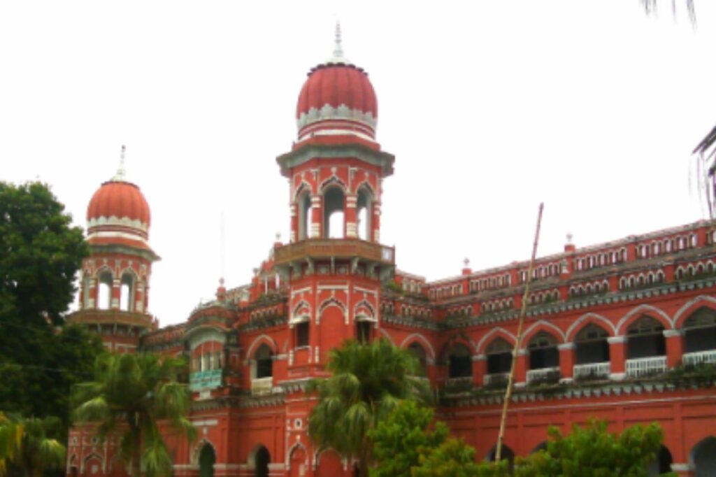
About Hardoi
Hardoi district, centrally nestled in Uttar Pradesh, India, boasts the city of Hardoi as its bustling hub and district headquarters. Occupying a significant position, it ranks as the state’s third-largest district within the precincts of Lucknow division, historically tied to Awadh State. According to the 2011 census, its population swells to 4,092,845 individuals, residing in 730,442 households, marking it as the 13th most densely inhabited district in Uttar Pradesh. This region brims with vibrant life, embodying the cultural richness and historical tapestry of the heartland.
History
The district of Hardoi, shaped during the British rule post-1856, was originally part of Lucknow and Khairabad sarkars during Akbar’s era. Lucknow sarkar comprised Sandila, Mallanwan, Kachhandao, “Garanda” (potentially Gundwa), and Bilgram mahals. Although the Ain-i-Akbari mentions a Hardoi mahal in Lucknow district, it refers to the modern Rae Bareli district. In Khairabad sarkar, Gopamau, Sara, Bawan, Sandi, Pali, and Barwar-Anjana mahals were partially or wholly within the boundaries of the present-day Hardoi district.
Demography
As of the 2011 census, Hardoi district housed 4,092,845 residents, akin to Lebanon or Oregon in size. It ranks 51st in India, boasting a density of 683 individuals per square kilometer and a growth rate of 20.39% from 2001 to 2011. The sex ratio stands at 868 females per 1000 males, the 62nd highest in Uttar Pradesh, with a literacy rate of 64.6%. Urban areas host 13.24% of the populace, and Scheduled Castes represent 31.14%. Moreover, 15.9% fall within the 0-6 age group. Back in 1901, the district held 1,092,834 inhabitants, with Shahabad leading at 20,036 and Mallanwan at 11,158 residents.
Geography
Hardoi, the westernmost district of Awadh, borders Sitapur and Lakhimpur Kheri districts to the east, while Lucknow and Unnao districts lie to the south. The Gomti River marks its eastern boundary, with the Sendha River and Ramganga defining the partial western border until the Ganges completes the rest. Geographically, it divides into kachh or lowlands in the west and bangar or uplands in the east, separated by barren sandhills. The eastern uplands overlook the Gomti, with tarai lowlands and swamps in between. Rolling sandhills dominate the uplands, posing a shifting hazard to the farms below, especially around Gopamau, while steep ravines channel water into lower-lying areas and reedy swamps form in depressions.
Economy
In 2006, Hardoi was designated by the Ministry of Panchayati Raj as one of India’s 250 most underprivileged districts among a total of 640. Positioned within the Awadh region of Uttar Pradesh, it stands as one of the 34 districts benefitting from the Backward Regions Grant Fund Programme (BRGF). This initiative channels crucial funds towards regions in need, aiding their development and progress. The acknowledgment of Hardoi’s backward status highlights the challenges it faces, prompting targeted support aimed at uplifting its socio-economic landscape. Through the BRGF, the district receives vital resources and support, enabling endeavors aimed at enhancing infrastructure, education, healthcare, and overall community welfare.