Assam Pincodes
Enter the Pincode or Location Below in the Box
Pincodes of Assam
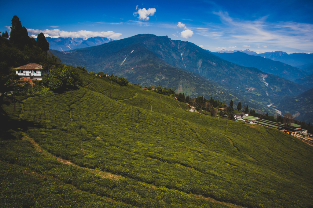
Assam is a vibrant state in northeastern India known for its lush tea gardens, diverse wildlife, and the Brahmaputra River. It’s famous for Assam tea and Assam silk. The state is rich in culture, with the Bihu festival showcasing traditional dance and music. Home to the one-horned rhinoceros, Assam’s Kaziranga National Park is a world heritage site. The people of Assam are warm and diverse, with a mix of various tribes and communities. Assam’s cuisine, with unique flavors and ingredients, is also a significant part of its identity. Assam pincodes are postal codes used to simplify mail delivery, covering its diverse regions from bustling cities to serene tea estates and remote villages.

Here is a list of Assam Pincodes
About Assam
Assam, a state in northeastern India, spans an area of 78,438 square kilometers, nestled south of the eastern Himalayas along the valleys of the Brahmaputra and Barak Rivers. Assam shares its borders with Bhutan and Arunachal Pradesh to the north, Nagaland and Manipur to the east, Meghalaya, Tripura, Mizoram, and Bangladesh to the south, and West Bengal to the west through the Siliguri Corridor, a 22-kilometer-wide land strip connecting it to the rest of India. The official languages of Assam are Assamese and Boro, with Bengali also serving as an official language in the Barak Valley’s three districts.
Geography
Assam is a unique geographical region encompassing three of India’s six physiographic divisions: the Northern Himalayas (Eastern Hills), the Northern Plains (Brahmaputra plain), and the Deccan Plateau (Karbi Anglong). The state is the easternmost sentinel of India and boasts breathtaking natural beauty, characterized by lush greenery, a range of hills, and major rivers like the Brahmaputra and the Barak. Assam has been home to diverse races, tribes, and ethnic groups since time immemorial, fostering a rich tapestry of synthesis and assimilation.
Administration
Assam is divided into 23 administrative districts, each delineated based on geographical features like rivers, hills, and forests. A Deputy Commissioner heads each district, typically an officer from the Indian Administrative Service (IAS) but sometimes from the Assam Civil Service (ACS). The Deputy Commissioner is supported by various officials from different branches of the state’s administrative services, including Additional Deputy Commissioners, Sub-divisional Officers, Extra Assistant Commissioners, and others.
Climate
Assam experiences a tropical monsoon climate, characterized by temperate temperatures (with summer highs at 95–100 °F or 35–38 °C and winter lows at 43–46 °F or 6–8 °C), heavy rainfall, and high humidity. Monsoon downpours during the summer reduce temperatures and bring foggy nights and mornings in winter, mainly during the afternoons. Spring (March–April) and autumn (September–October) are typically pleasant with moderate rainfall and temperature. The state’s agriculture heavily relies on the southwest monsoon rains.
Demography
As of the 2011 census, Assam’s total population was 31,169,272, marking an increase from 26,638,407 over the past decade, with a growth rate of 16.93%.
