Diu Pincodes
Enter the Pincode or Location Below in the Box
Pincodes of Diu
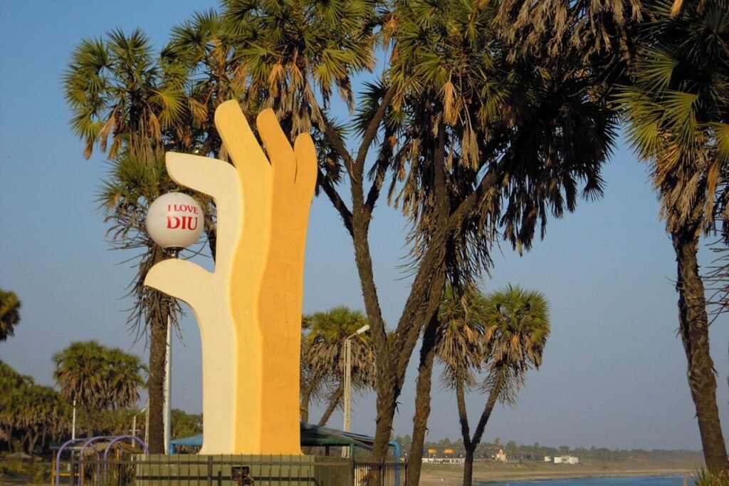
Diu, part of the Daman and Diu union territory in India, is a small island known for its beaches and historical sites. It was once under Portuguese rule, which is evident in its architecture and culture. Diu is famous for its forts, churches, and clean beaches like Nagoa Beach. It’s a peaceful place with a relaxed atmosphere, attracting tourists who enjoy its beauty and history. The local economy is mainly based on tourism and fishing. Diu Pincodes are important for the postal system, helping people send and receive letters and packages easily in this beautiful island town.

Here is a list of Diu Pincodes
About Diu
Diu is an island in Gujarat that is located approximately 21 km along its coast, somewhat off the shore of Kathiawad, close to the Port of Veraval. It is roughly 768 kilometres away from Daman, the capital of the recently established Union Territory of Dadra & Nagar Haveli and Daman & Diu. Diu is surrounded on three sides by the Arabian Sea and to the north by Gir-Somnath and Amreli District of Gujarat.
Two bridges connect it to the mainland. It is 4.6 kilometres long from the north and south’s extremes and 13.8 kilometres wide from east to west. Six metres above sea level is the altitude. In general, the topography is simple. The hills reach up to thirty metres in height.
History
The Indo-Greek monarchs Eukratides (c. 171–150 B.C.), Meanandar (c. 115–90 B.C.), and Appollodotes II appear to have ruled the District from the first century B.C. to roughly A.D. 50. The district appears to have been governed by the Kshaharatas in the first century, who had already established their dominance over Saurashtra and the western portion of India. Diu was a part of the kingdoms of dynasties that ruled across Gujarat and western India for more than a millennium. In the first ten years of the fifteenth century, Diu was controlled by the final Vaja dynasty monarch of Somnath Patan.
Geography
At 20.71°N 70.98°E is Diu. The island is 15.0 square miles, or 38.8 square kilometres, in size and is located at sea level. With an average annual rainfall of 560 millimetres, or 22 inches, all but 25 millimetres (1.0 in) fall between June and September, Diu enjoys a hot, semi-arid environment.
Demography
23,991 people called Diu home as per the 2011 Indian Census, living in 5,249 households. 51.6% of the population was female and 48.4% was male. The average literacy rate in Diu was 92%. Ten percent of the population in Diu is younger than six years old. In Diu, people speak Hindi, Gujarati, Portuguese, and English.
