Hailakandi Pincodes
Enter the Pincode or Location Below in the Box
Pincodes of Hailakandi
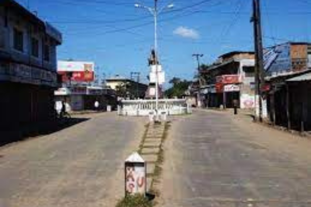
Hailakandi district in southern Assam, spanning about 1,327 square kilometers, is celebrated for its cultural diversity and natural beauty. Home to Bengali, Assamese, and indigenous communities, it boasts a rich cultural mosaic. The district, with Hailakandi town as its hub, features lush greenery and a strong agricultural base. It’s known for traditional festivals, historical sites, and the picturesque Barak River. Hailakandi pincodes are vital for efficient postal services, ensuring connectivity and communication across this culturally vibrant and scenically alluring region.
Here is a list of Hailakandi Pincodes
About Hailakandi
Established as the 24th district of Assam by the Assamese government in 1989. One of the aspiring districts in Assam’s barak valley is Hailakandi. There are multiple myths connected to the name Hailacandi. Some historians claim that the district’s name originated from the words “Kuki,” which means “small state,” and “Kundia,” which indicates a piece of land used for temporary ploughing. Another legend surrounding the district’s name is that it was once named “Sailkandi” but is now known as Hailakandi since sali paddy is a primary food crop that is grown in large quantities there.
History
On June 1st, 1869, it was established as a civil subdivision. In 1989, it was elevated to the status of a district. Some experts claim that the Sylheti word “Hailakundi” is where the term “Hailakandi” originated. Hailakandi holds historical value due to its ancient cultural fabric that has been shaped by several eras of governance. Freedom fighter Abdul Matlib Mazumdar served as a cabinet minister in the final British administration and in the first and later ministries following independence. The first minister for local self-government, animal welfare, and agriculture in Assam.
Geography
The Hailakandi district is roughly similar to Iran’s Qeshm Island, with 1,327 square kilometres (512 sq mi). Over half of this is reserved woodland. The Hailakandi district is home to two reserve forests: the Inner Line Reserve Forest and the Katakhal Reserve Forest. In addition to its 76-kilometer interstate border with Mizoram to the south, the district shares boundaries with the districts of Karimganj and Cachar on its other sides. There are 542978 people living there as of the 2001 census. Hailakandi’s topography thrives with lush foliage, riverine networks, and stunning landscapes, all nestled in the charming Barak Valley.
Economy
The economy of the Hailakandi district is primarily based on agriculture, with key crops being rice, jute, and tea. Handloom weaving, cottage enterprises, and traditional art forms preserve indigenous talents while boosting the local economy. Hailakandi was listed by the Indian government as one of the 250 most backward districts in the nation in 2006 (out of 640 total). The district in question is one of the eleven in Assam that is presently getting funding from the Backward Regions Grant Fund Programme (BRGF).
Culture
This district fosters a tapestry weaved of Assamese, Bengali, Manipuri, and indigenous communities, serving as a meeting spot for diverse cultures and traditions. The blending of celebrations, traditions, and tongues results in a vibrant mosaic that reflects its multicultural community.
FAQs
Dindori is a district in central India, part of Madhya Pradesh state. Its main town is Dindori, and it’s in the Jabalpur Division. The district covers an area of 6,128 square kilometers and is in the eastern part of Madhya Pradesh, near Chhattisgarh. It shares borders with Anuppur, Umaria, Jabalpur, and Mandla districts in Madhya Pradesh, as well as Chhattisgarh’s Mungeli and Kabirdham districts. Various Dindori Pincodes assigned to different areas within the district to facilitate postal services and location identification.