Jorhat Pincodes
Enter the Pincode or Location Below in the Box
Pincodes of Jorhat
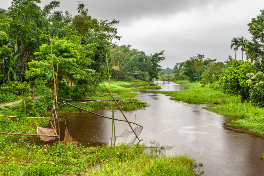
Jorhat district is located in the northeastern state of Assam, India. It is known for its rich cultural heritage and historical significance. The district covers an area of approximately 2,851 square kilometers and is characterized by lush green landscapes, tea gardens, and the majestic Brahmaputra River flowing through it. Jorhat is often referred to as the “Tea Capital of the World” due to its numerous tea estates and the Assam Agricultural University, which is a hub for tea research. The district is also famous for its cultural traditions, including the Bihu festival, and is home to several historical sites and landmarks.

Here is a list of Jorhat Pincodes
About Jorhat
Among the major and rapidly expanding cities in India’s Assam state is Jorhat. The terms “JORHAT” or “JOREHAUT” refer to the two hats, or mandis, that existed in the eighteenth century on the opposing sides of the Bhogdoi River: “Macharhat” and “Chowkihat.” Jorhat served as the final capital of the Ahom Kingdom. The Ahom monarch Gaurinath moved the capital to Jorhat in 1794 from Sibsagar (formerly “Rangpur”). This town was a thriving economic hub until it was totally devastated by a string of Burmese invasions that began in 1817 and continued until the British army, led by Captain Richard and David Scott, arrived in 1824.
Geography and Demography
The Jorhat district, which is situated far away in the centre of Assam, is made up of lush plains and rolling hills. This district is situated in the heart of Assam, covering an area of 2,851 square kilometres. Its borders are as follows: Nagaland to the north, Majuli district to the west, Golaghat district to the south, and Sivasagar district to the east. A variety of communities, including Assamese, tea garden workers, and various indigenous tribes, make up the district’s population.
Culture
A number of historical landmarks, including as the majestic Raja Maidam (royal cremation site) and old temples like the Dol Govinda and the Lachit Borphukan’s Maidam, can be found in Jorhat, the birthplace of Assamese culture. In addition to being recognised for its handloom goods, pottery, and traditional mask-making, this region is also esteemed for its literature, art, and performing arts.
Education and Economy
Assam Agricultural University, Jorhat Medical College, and Jorhat Engineering College are just a few of the esteemed academic institutions that call Jorhat home. The main drivers of the district’s economy are agriculture, tea growing, and tourism. A sizable number of tourists are drawn to the area each year by its natural beauty, historical and cultural value, and both.
Tourist Attractions
Travellers visit Jorhat to see its colourful culture, walk around its tea gardens, and take in its peaceful environment. Nearby is Majuli, the largest river island in the world and a popular tourist destination. The Gibbon Wildlife Sanctuary and the Tocklai Tea Research Institute are two more well-liked attractions in the district.
