Navsari Pincodes
Enter the Pincode or Location Below in the Box
Pincodes of Navsari
Here is a list of Navsari Pincodes
About Navsari
Navsari, a district in Gujarat, India, has its main office located in the city of Navsari. This district spans 2,211 square kilometers and was established in 1997 when Valsad district was divided into Valsad and Navsari districts. Navsari is renowned for being the leading producer of chikoos (sapodilla fruit) in India.
History:
In ancient times, Navsari’s history dates back to the 7th century. Originally known as “Samana Navsarika,” it was ruled by the Chalukya dynasty, with King Avnijanasha Pulkeshi leading them. Pulkeshi Raja defeated an Arabian Army during his rule. This Chalukyan rule persisted until 740 AD, with sparse populations like “Dubla Koli” and “Rajput” on the hills. “Navsari” evolved from “Naag Mandal” after the stay of Shila Dritniya Guru Naavdrdha in the area. “Navsari” was previously known as “Naagvardhan,” “Naagshahi,” and “Paarsipuri,” with Parsi settlers coining the name “Navo-sari” due to favorable weather.
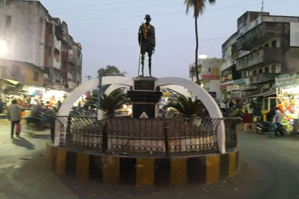
In the 18th century, the Marathas expanded their rule to Navsari, developing the old town. By 1898, Navsari had grown significantly with new facilities like a jail, police station, Townhall, Library, hospitals, and markets. Pashwarnath’s Derasar from the 19th century highlights Navsari’s significance in Jain religion. Initially settled on hills like Banavad and Kamush Maholla, as the population grew, people moved to lower areas. Navsari was known for trade and industries like weaving and Jari embroidery, attracting foreign traders. Figures like Sheth Jamshedji Jijabai, Dadabhai Navaroji, and Jaweshdji Nasarvanji Tata had connections to Navsari. Mahatma Gandhi stayed here during the Dandi Satyagrah in 1930, and a road was named “Mahatma Gandhi Road” in his honor.
Geography:
Navsari, a historically rich city in Gujarat, is situated between Surat district to the north, Dang district to the east, and the Arabian Sea and Purna river to the west. The Purna river flows through several villages in Navsari, covering a distance of 36 kilometers. This coastal city enjoys pleasant weather even in the summer due to its sea-level location. Navsari holds significance as a major stop on the Mumbai to Ahmedabad broad gauge railway line and is well-connected to other Gujarat cities via National Highway No. 8, linking it to Ahmedabad and Mumbai through the Parivaahan Nigam transport system.
Demographics:
In Navsari district, there were 961 females for every 1000 males, which was the 5th highest sex ratio in Gujarat and ranked 234th in all of India.
The literacy rate in Navsari District was 84.78%. In urban areas, it was even higher at 89.8%, while in rural areas, it was 82.55%.
During the 2011 Census of India, most people in Navsari (89.46%) spoke Gujarati as their first language, while 4.95% spoke Hindi, and 2.69% spoke Marathi.
Administration:
There are 3 subdivisions and 6 talukas in the Navsari District:
Sub-Divisions:
- Navsari
- Chikhli
- Vansada
Talukas:
- Navsari
- Khergam
- Gandevi
- Chikhli
- Jalalpore
- Vansada