Panipat Pincodes

Enter the Pincode or Location Below in the Box

Pincodes of Panipat

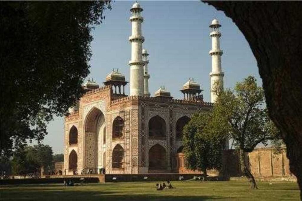
Panipat Pincodes: Navigate the dynamic city with ease using our comprehensive directory of Panipat pincodes on “Pincodes of My Location” website. Explore this historically significant city’s diverse areas efficiently. The pincodes unveil the administrative structure managed by officers from Indian Administrative Service, Indian Police Service, and Indian Forest Service, overseeing general administration, law & order, and environmental conservation. Uncover the essence of Panipat’s vibrancy beyond its historical prominence, ensuring swift access to addresses, businesses, and services across this culturally rich city.
Panipat Pincodes

Here is a list of Panipat Pincodes

No.LocationPincodeDistrictState
1Adyana132113PanipatHaryana
2Ahar132107PanipatHaryana
3Allupur132113PanipatHaryana
4Assan Kalan132105PanipatHaryana
5Atta132122PanipatHaryana
6Atula132113PanipatHaryana
7Babail132103PanipatHaryana
8Babarpur132103PanipatHaryana
9Bandh132107PanipatHaryana
10Bapoli132104PanipatHaryana
11Barana132103PanipatHaryana
12Beholi132101PanipatHaryana
13Bhadar132103PanipatHaryana
14Bhandari132113PanipatHaryana
15Bhodwal Majri132102PanipatHaryana
16Binjhol132103PanipatHaryana
17Buana Lakhu132107PanipatHaryana
18Bursham132103PanipatHaryana
19Chandoli132103PanipatHaryana
20Chhajpur Kalan132104PanipatHaryana
21Chulkana132101PanipatHaryana
22Dadlana132140PanipatHaryana
23Dadola132108PanipatHaryana
24Dahar132145PanipatHaryana
25Dehra132122PanipatHaryana
26Didwari132145PanipatHaryana
27Dikadla132122PanipatHaryana
28Diwana132108PanipatHaryana
29Gandhi Samarak nidhi132102PanipatHaryana
30Ganjbarh132103PanipatHaryana
31Goela Kalan132104PanipatHaryana
32Hathwala132115PanipatHaryana
33Israna132107PanipatHaryana
34Jalalpur132103PanipatHaryana
35Jattal132103PanipatHaryana
36Jaurasi132101PanipatHaryana
37Joshi132113PanipatHaryana
38Kabri132103PanipatHaryana
39Kalkha132105PanipatHaryana
40Karad132107PanipatHaryana
41Karhans132101PanipatHaryana
42Khojkipur132122PanipatHaryana
43Kiwana132101PanipatHaryana
44Kurana132107PanipatHaryana
45Kurar132103PanipatHaryana
46Lohari132105PanipatHaryana
47Machhrauli132101PanipatHaryana
48Madlauda132113PanipatHaryana
49Mahoti132102PanipatHaryana
50Manana132101PanipatHaryana
51Mandi132107PanipatHaryana
52Namunda132101PanipatHaryana
53Nanhera132103PanipatHaryana
54Nara132113PanipatHaryana
55Naraina132101PanipatHaryana
56Neoltha132145PanipatHaryana
57Noorwala132103PanipatHaryana
58Ppt Camp no. 2132103PanipatHaryana
59Ppt Kathery (u)132103PanipatHaryana
60Palri132145PanipatHaryana
61Paniapt G.t. road132103PanipatHaryana
62Panipat132103PanipatHaryana
63Panipat Beas project132108PanipatHaryana
64Panipat City132103PanipatHaryana
65Panipat Khadi ashram132104PanipatHaryana
66Panipat Kishanpura132103PanipatHaryana
67Panipat Kranti nagar132103PanipatHaryana
68Panipat Mandi132103PanipatHaryana
69Panipat Model town132103PanipatHaryana
70Panipat N.s.m.132103PanipatHaryana
71Panipat Nfl132103PanipatHaryana
72Panipat Patel nagar132103PanipatHaryana
73Panipat Refinary132140PanipatHaryana
74Panipat Sugar mills132103PanipatHaryana
75Panipat Thermal project132105PanipatHaryana
76Pardhana132107PanipatHaryana
77Patti Kalyana132102PanipatHaryana
78Puther132107PanipatHaryana
79Qawi132113PanipatHaryana
80Rair Kalan132140PanipatHaryana
81Rajkheri132103PanipatHaryana
82Raksera132115PanipatHaryana
83Risalu132104PanipatHaryana
84Samalkha132101PanipatHaryana
85Sanauli Khurd132103PanipatHaryana
86Seenk132103PanipatHaryana
87Shahpur132107PanipatHaryana
88Shera132113PanipatHaryana
89Siwaha132108PanipatHaryana
90Sodhapur132103PanipatHaryana
91Sutana132105PanipatHaryana
92Ugra Kheri132104PanipatHaryana
93Untla132105PanipatHaryana
94Urlana Kalan132103PanipatHaryana
95Waisor132113PanipatHaryana

About Panipat District

Panipat, derived from Sanskrit as “City of Pāṇḍu,” holds historical significance as a planned industrial hub in Haryana, India, under HUDA. Situated 95 km north of Delhi and 169 km south of Chandigarh on NH-1, it witnessed pivotal battles in 1526, 1556, and 1761. Renowned as the “City of Weavers” and “Textile City,” it stands as a global recycling hub for textiles, earning the moniker “cast-off capital.” Hosting diverse manufacturing industries like wool and cotton milling, Panipat is recognized for glass, electrical appliances, and more. Despite industrial acclaim, it’s flagged as a Critically Polluted Industrial Area with a historical impact on India’s narrative, marking the rise of empires and colonial shifts.

History

Panipat district, initially carved from Karnal district on November 1, 1989, saw changes: merged back with Karnal on July 24, 1991, only to regain separate status on January 1, 1992. This historic city witnessed three pivotal battles shaping the Indian Subcontinent. The First Battle in 1526 between Ibrahim Lodhi and Babur marked the onset of Mughal rule, with Babur’s smaller force leveraging artillery to conquer Ibrahim’s larger army. The Second Battle in 1556 between Akbar and Hem Chandra Vikramaditya, the last Hindu emperor, turned when Hem Chandra, struck by an arrow, fell unconscious, leading to his army’s dispersal. His potential victory with vast war resources remained untapped.

Demography

Based on the 2011 census, the city boasted a populace of 294,292, with an 83% literacy rate. Notably, there’s been a 24.33% population surge since 2001, resulting in a density of 949 individuals per sq. km. The sex ratio stood at 861 females per 1000 males, and the child sex ratio at 833 girls per 1000 boys. Hindus form 83.39%, Muslims 12.03%, Sikhs 4.13%, Jains 0.25%, and Christians 0.05% of the population. The remaining 0.14% comprises various other beliefs. Data regarding Buddhists in the district is unavailable as per the records.

Geography

Situated at coordinates 29.3875°N latitude and 76.9700°E longitude, Panipat boasts an average elevation of 219 meters (718 feet). Nestled within these geographical coordinates, the city harmonizes its landscape at the convergence of 29.3875°N and 76.9700°E. Positioned at an altitude of 219 meters, or 718 feet, Panipat enjoys a scenic topography. This elevation not only adds to the city’s aesthetic appeal but also offers a panoramic perspective of its surroundings. With this geographical vantage point, Panipat stands as a testament to the synergy between its natural setting and urban development, creating a distinctive character within its elevated embrace.

Administration

Panipat district, within Rohtak Division, houses two sub-divisional offices at Panipat and Samalkha. It comprises three tahsils: Panipat, Israna, and Samalkha, along with five Community Development Blocks fostering rural growth—Madlauda, Panipat, Israna, Samalkha, and Bapauli. Originating in 1991 from Karnal district, Panipat initially encompassed 186 villages and two towns. Over time, it evolved, forming Israna and Samalkha tahsils and transferring Assandh back to Karnal. Presently, the district houses three tahsils and numerous urban and rural segments under the administrative oversight of the Deputy Commissioner, supported by an Additional Deputy Commissioner and a collective of senior officers, ensuring holistic development and regulatory functions.

FAQs

Why is Panipat famous?

Panipat is renowned for pivotal historical battles that shaped Indian history, including the three significant battles fought there.

What is the importance of Panipat?

Panipat holds historical significance due to pivotal battles fought there, shaping India's socio-political landscape.

What is the real name of Panipat?

The original name of Panipat is 'Panprastha' or 'Panpat'.

Which fight is famous in Panipat?

The three battles of Panipat, fought in 1526, 1556, and 1761, are historically renowned for their pivotal roles in Indian history.

How old is Panipat city?

Panipat city dates back over thousands of years, with its history spanning ancient civilizations and significant historical events.