Sabarkantha Pincodes
Enter the Pincode or Location Below in the Box
Pin Codes of Sabarkantha
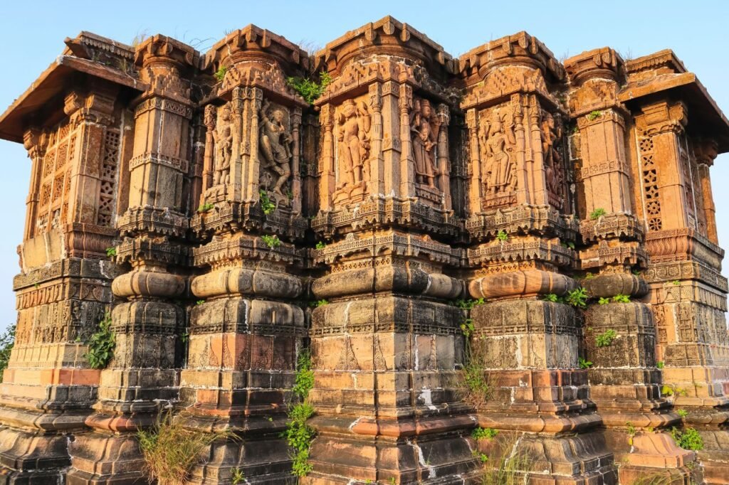
Sabarkantha, located in Gujarat, India, is celebrated for its beautiful scenery and deep cultural roots. This district offers a mix of countryside appeal and historical sites, including many temples and architectural wonders. Agriculture is the main economic activity here, with the production of diverse crops. Sabarkantha also hosts a number of small industries. Well-connected by roads, the district is easily accessible. To manage mail delivery and location identification efficiently, Sabarkantha uses a system of pincodes, with each pincode representing a different area within the district. Below is a list Sabarkantha Pincodes.
Here is a list of Sabarkantha Pincodes
About Sabarkantha
Sabarkantha is one of the 33 districts in the state of Gujarat, India, situated in the northeastern region of the state. The district’s administrative center is in the town of Himatnagar.
History:
During the time of the Western Satraps, this area was called Shwabhra, as mentioned in Ashoka’s Major Rock Edicts at Junagadh around 150 A.D. The region’s river, originally named Shwabhravati, is now known as the Sabarmati River. This region is also mentioned in the ancient text, Gaṇapāṭha, part of the famous grammar work, Aṣṭādhyāyī, by Pāṇini.
In the British Raj era, Vijaynagar in Sabarkantha was the capital of Vijaynagar State, a princely state within the Mahi Kantha Agency.
The current Sabarkantha district was established in 1949, combining 29 princely states and parts of Ahmedabad. It became part of Gujarat in 1960 when the state was formed from the division of Bombay state.
Geography:
Sabarkantha District in Gujarat, India, is surrounded by Rajasthan state in the north and northeast, Banaskantha and Mehsana districts to the west, Gandhinagar district to the south, and Aravalli district to the southeast. Covering an area of 5,390 square kilometers, it has a gender ratio of 950 women for every 1,000 men. The literacy rate in the district is 76.6%.
Administratioin:
The Sabarkantha district is divided into 8 talukas:
- Himatnagar
- Idar
- Prantij
- Talod
- Khedbrahma
- Poshina
- Vadali
- Vijaynagar
Demographics:
As of the 2011 census, Sabarkantha district had a population of 2,428,589, ranking it 183rd in India among a total of 640 districts. It has a population density of 328 people per square kilometer. The sex ratio in Sabarkantha is 950 females for every 1000 males, and the literacy rate is 76.6%.
After some adjustments, the remaining part of the district had 1,388,671 people, with 17.08% (237,158 people) living in urban areas. The adjusted sex ratio was 951 females per 1000 males.
Sabarkantha district had 1,285,218 Hindus, 90,027 Muslims, and 9,990 Jains. During the 2011 Census in India, 97.85% of the people in the district reported Gujarati as their primary language, while 1.63% spoke Hindi first.