Pincodes of Upper Subansiri
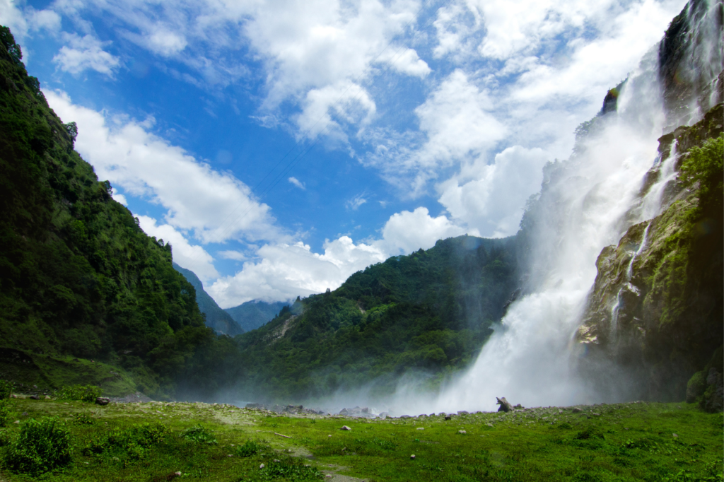
Upper Subansiri district, located in the Indian state of Arunachal Pradesh, boasts diverse landscapes and cultural richness. While various areas in the district have distinct PIN (Postal Index Number) codes, the district headquarters, Daporijo, is designated with the PIN code 791122. The region features lush forests, scenic hills, and the Subansiri River. It is inhabited by diverse indigenous communities, including the Tagin, Galo, and Hill Miri tribes, each with its unique heritage. Upper Subansiri is also home to the Kamala Reserve Forest, offering opportunities for wildlife enthusiasts. This district combines natural beauty with cultural diversity, making it a fascinating destination for travelers.
Here is a list of Upper Subansiri Pincodes
| No. | Location | Pincode | District | State |
|---|---|---|---|---|
| 1 | Daporijo | 791122 | Upper Subansiri | Arunachal Pradesh |
| 2 | Dumporijo | 791122 | Upper Subansiri | Arunachal Pradesh |
| 3 | Giba | 791122 | Upper Subansiri | Arunachal Pradesh |
| 4 | Lemiking | 791122 | Upper Subansiri | Arunachal Pradesh |
| 5 | Lepajaring | 791122 | Upper Subansiri | Arunachal Pradesh |
| 6 | Maro | 791122 | Upper Subansiri | Arunachal Pradesh |
| 7 | Muri | 791122 | Upper Subansiri | Arunachal Pradesh |
| 8 | Nacho | 791122 | Upper Subansiri | Arunachal Pradesh |
| 9 | Sippi | 791122 | Upper Subansiri | Arunachal Pradesh |
| 10 | Siyum | 791122 | Upper Subansiri | Arunachal Pradesh |
| 11 | Tabarijo | 791122 | Upper Subansiri | Arunachal Pradesh |
| 12 | Taksing | 791122 | Upper Subansiri | Arunachal Pradesh |
| 13 | Taliha | 791122 | Upper Subansiri | Arunachal Pradesh |
About Upper Subansiri
The Upper Subansiri district was created in 1980, originating from the division of the Subansiri district. Daporijo serves as its headquarters, housing two sub-divisions and nine CD Blocks.
History
In 1953, a circle headquarters was established at Daporijo. It later gained sub-division status in 1957, with the inclusion of additional areas from the northeast bank of the Subansiri River in 1959. This sub-division was initially led by an Additional Political Officer, later redesignated as Add. Deputy Commissioner in 1964. The district was officially established as Upper Subansiri in 1980.
Geography
The district covers a vast area of 7,032.00 sq.km. It shares borders with West Siang district to the east and partly to the south, while Lower Subansiri district lies to the west and part of the south. The McMahon Line marks the border with China to the north. The terrain is rugged and mountainous, with the Subansiri River coursing through it. The district boasts snow-capped mountain ranges, ranging from 7,000ft. to 18,000ft. above sea level, creating a natural barrier in the north. Upper Subansiri is rich in flora and fauna.
Administration
Upper Subansiri district in Arunachal Pradesh is administered through one of its sub-divisions. Its headquarters is in Nacho, located approximately 116 kms from the district headquarters, Daporijo. The sub-division comprises four administrative circles along the international boundary, with headquarters in Taksing, Limeking, Nacho, and Siyum.
Demography
As of the 2011 census, Upper Subansiri district had a population of 83,205, comparable to the nation of Andorra, ranking 621st in India. The district has a population density of 12 inhabitants per square kilometer. Its population growth rate from 2001 to 2011 was 50.34%. The district has a sex ratio of 982 females per 1000 males and a literacy rate of 63.96%.
Climate
The district experiences varied climate conditions, with differing levels of rainfall and temperature depending on the location. The average rainfall recorded in the district headquarters, Daporijo, for the year 2002 was 153.3 mm. Upper Subansiri enjoys temperate and subtropical climate conditions..