Pincodes of Longleng
Longleng Pincodes: Discover the Zip Codes of Longleng, Your Gateway to Local Precision. Welcome to ‘Pincodes of My Location,’ your one-stop destination for Longleng’s comprehensive postal code directory. Nestled in the enchanting landscapes of Nagaland, Longleng boasts a diverse range of pincodes, each corresponding to a unique locality within this vibrant region. Whether you’re a resident, a traveler, or a business owner, our user-friendly website provides easy access to Longleng’s postal information. With our up-to-date database, you can effortlessly find the precise zipcode you need for accurate mail and package deliveries.
Here is a list of Longleng Pincodes
| No. | Location | Pincode | District | State |
|---|---|---|---|---|
| 1 | Hukpang | 798625 | Longleng | Nagaland |
| 2 | Longleng | 798625 | Longleng | Nagaland |
| 3 | Nian | 798625 | Longleng | Nagaland |
| 4 | Phomching | 798625 | Longleng | Nagaland |
| 5 | Sakchi | 798625 | Longleng | Nagaland |
| 6 | Yachem | 798625 | Longleng | Nagaland |
| 7 | Yongyak | 798625 | Longleng | Nagaland |
About Longleng
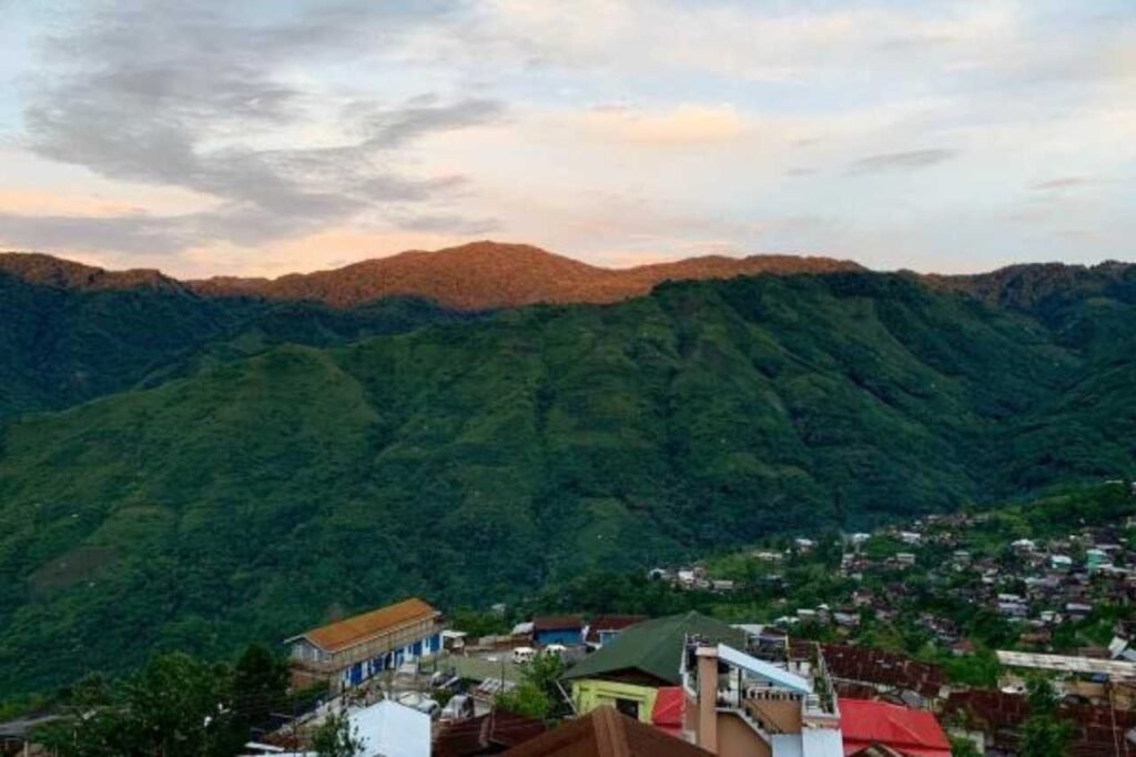
Longleng District, graces the northern landscape of Nagaland, India, with its picturesque hills and is inhabited by the Phom Nagas. Natural boundaries, like the meandering Dikhu River, elegantly define its limits, surrounded by Mon District to the east, Assam’s Sivasagar District to the north, Tuensang District to the south, and Mokokchung District to the west. The district boasts the majestic Yingnyiüshang Mountain in the southeast, soaring approximately 2500 meters above sea level, marking the region’s highest peak. Yingnyiü Mount serves as a biodiversity hotspot, nurturing lush tropical rainforests and a rich variety of flora and fauna. Notably, it stands as one of Nagaland’s last sanctuaries of untouched virgin forests. Alongside the enchanting Dikhu and Yongam Rivers, visitors can enjoy popular fishing spots and serene picnicking areas.
History
Longleng, a district in Nagaland, holds a captivating history that resonates with the rich traditions of its indigenous Phom Naga inhabitants. Over the centuries, this region has witnessed the ebb and flow of various dynasties and colonial influences. Longleng’s history is steeped in cultural heritage, with ancient customs and rituals passed down through generations. It played a significant role in the Naga Hills during the British colonial era, and its people have contributed to the state’s vibrant tapestry of diversity. Today, Longleng stands as a testament to its resilient past, embracing modernity while cherishing its historical roots.
Demography
As per the 2011 census data, Longleng District recorded a population of 50,484, which is roughly equivalent to the nation of Saint Kitts and Nevis. This population figure places Longleng at the 632nd rank among all districts in India, out of a total of 640. The district exhibits a sex ratio of 903 females for every 1000 males, along with a commendable literacy rate of 73.1%. An overwhelming 96.30% of the population in Longleng belongs to Scheduled Tribes. Approximately 15.08% of the populace resides in urban areas. Christianity emerges as the predominant religion, with 96.76% adherents, followed by 1.73% Hindus, 1.26% Muslims, 0.15% Buddhists, and negligible populations of Sikhs and unspecified beliefs, at <0.01% and 0.09%, respectively.
Geography
Longleng, Nagaland’s tenth district, was carved out of Tuensang District and offers a distinct geographical charm. Situated at an elevation of approximately 1,066 meters above sea level, the district’s headquarters, Longleng, serves as its administrative center. It shares its borders with Mon District to the east, Tuensang District to the south, and Mokokchung District to the west. Within the district, Tamlu and Longleng stand out as prominent towns. The Dikhu River meanders through this picturesque region, enhancing its natural beauty and contributing to its agricultural significance, making Longleng a unique and culturally rich part of Nagaland.
Administration
Longleng Town, established in 1951 with Shri Ranjan serving as the first Administrator, gained full-fledged Revenue District status on 24 January 2004, led by the Deputy Commissioner. The Deputy Commissioner oversees District Administration, Law and Order, Protocol, Elections, and Developmental activities. Subordinate Administrative Officers like Addl. Deputy Commissioner (ADC), Extra Assistant Commissioner (EAC), and HODs of various departments assist the DC. Administrative Units below the district level are based on clusters, such as circles, villages, and households. Clusters of circles form Sub-Divisions with Sub-Divisional Officers (SDOs). Some Sub-Divisions, upgraded to ADC Headquarters, are led by ADCs.