Pincode of Nandyal
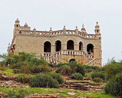
Nandyal, Andhra Pradesh, India is home to Nandyal Pincode 518501. Nandyal, renowned for its agricultural predominance, cultural richness, and historical history, offers a special fusion of contemporary and tradition. Take in the city’s colorful festivities, taste its traditional cuisine, and see famous sites like the Nandyal Fort. Access to the center of this region, where history, spirituality, and agriculture coexist together, is made possible by Nandyal Pincode 518501. This Pincode provides an enthralling voyage into the heart of Nandyal, whether you’re touring the city’s cultural riches or ancient landmarks.

Here is a list of Nandyal Pincode
| No. | Location | Pincode | District | State |
|---|---|---|---|---|
| 1 | Nandyal | 518501 | Kurnool | Andhra Pradesh |
About Nandyal
Nandyal district, which was created on April 4, 2022, to become one of the resulting 26 districts, is a district in the Indian state of Andhra Pradesh. Nandyal serves as the district’s administrative center. The Rayalaseema region includes it. The district is made up of the Kurnool district’s Atmakur revenue division, the recently established Dhone revenue division, and the Nandyal revenue division.
History
Belum Caves are significant historical and geological landmarks in the area. There are hints that these caves were inhabited centuries ago by Buddhist and Jain monks. Within the caves were discovered several Buddhist relics. These artifacts are currently kept in the Anantapur Museum. The Archaeological Survey of India (ASI) discovered pre-Buddhist items and remnants of vessels, dating the vessel remnants discovered in the caverns to 4500 BC.
Geography
The Krishna Rivers and the Mahabubnagar District of Telangana State border this district on the north; Kadapa and Anantapur Districts border it on the south; Kurnool District borders it on the west; and Prakasam District borders it on the east. The two main mountain ranges that run parallel to each other from north to south through the area are Nallamala and Erramala. The district is divided into two sections by the Erramalas.Between Erramalas and Nallamalas is where the district’s eastern portion is located. The soil is primarily black cotton. The two principal rivers are Krishna and Kunderu. The Kunderu, also called Kumudvathi, have their origins on the western slopes of the Erramala highlands.
Demography
Nandyal district had 1,781,777 residents as of the 2011 census, 385,185 (21.62%) of whom are in urban areas. The sex ratio in the Nandyal district is 985 females for every 1000 males. The population is composed of 322,825 (18.12%) Scheduled Castes and 52,784 (2.96%) Scheduled Tribes. According to the 2011 census, Telugu was the first language spoken by 81.08% of the people, and Urdu by 17.25%.
Tourism
The home of Brahmaramba Mallikarjuna Swamy is Srisailam. The god is a lingam-shaped natural stone creation. It is one of the nation’s twelve Jyotirlingams. The temple dates back to the fourteenth century. Temple of Mahanandiswara traces its origins to the 7th century. Pushkarani, nearby, offers pristine water. Upper Ahobilam is home to the Navanarasimha (Nine Forms of Lord Narasimha) shrine. Lower Ahobilam is home to the Prahladavarada shrine. Uma Maheswara Swamy lives at Yaganti. The Meghalaya caves are the largest natural caves in India, with the Belum caves being found in 1982.
