Pincodes of Ramgarh
Ramghar Pincodes: Explore the postal codes of Ramghar with ease on our website, “Pincodes of My Location.” Whether you’re a resident or visitor, finding the right postal code for your destination is essential. Navigate through Ramghar’s various neighborhoods and localities effortlessly, as we provide a comprehensive list of pincodes for your convenience. From sending parcels to locating specific areas, our user-friendly platform ensures you have the information you need at your fingertips. Discover Ramghar like never before and simplify your postal code search with “Pincodes of My Location.” Your one-stop destination for accurate and up-to-date pincodes in Ramghar.
Here is a list of Ramgarh Pincodes
| No. | Location | Pincode | District | State |
|---|---|---|---|---|
| 1 | Dari | 829109 | Ramgarh | Jharkhand |
| 2 | Src | 829131 | Ramgarh | Jharkhand |
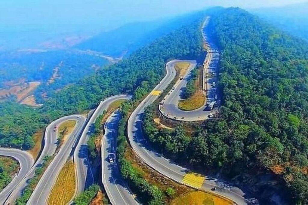
About Ramgarh
Ramgarh, part of Jharkhand, was once a military district under British rule. Established on September 12, 2007, it emerged from Hazaribagh District, becoming a pivotal area within Jharkhand. Centrally located, Ramgarh thrives as a mining, industrial, and cultural center, hosting the revered Maa Chhinnamasta Temple. Dating back to the 1670s, King Dalel Singh relocated Ramgarh Raj’s capital, naming it after his father, Ram Singh. Its name honors the town Ramgarh, serving as its present headquarters, encapsulating the essence of this vibrant district.
History
Stone Age relics, dating back to the Lower Paleolithic era, were unearthed along the Damodar River in Ramgarh. Under the reign of the formidable King Jarasandh, Chotanagpur fell within his dominion, likely under the subjugation of Mahapadam of Magadh and later under Ashoka the Great during the Maurya Empire. The presence of Buddha’s relics at the Gola temple and the construction of a Jain Trithankar shrine in Parasnath, around the 8th century BC, signify the influence of Buddhism and Jainism in the region. During the Gupta Empire, King Samudragupta’s expansion into the Eastern Deccan involved traversing through this very area.