Ranchi Pincodes
Enter the Pincode or Location Below in the Box
Pincodes of Ranchi

Here is a list of Ranchi Pincodes
About Ranchi
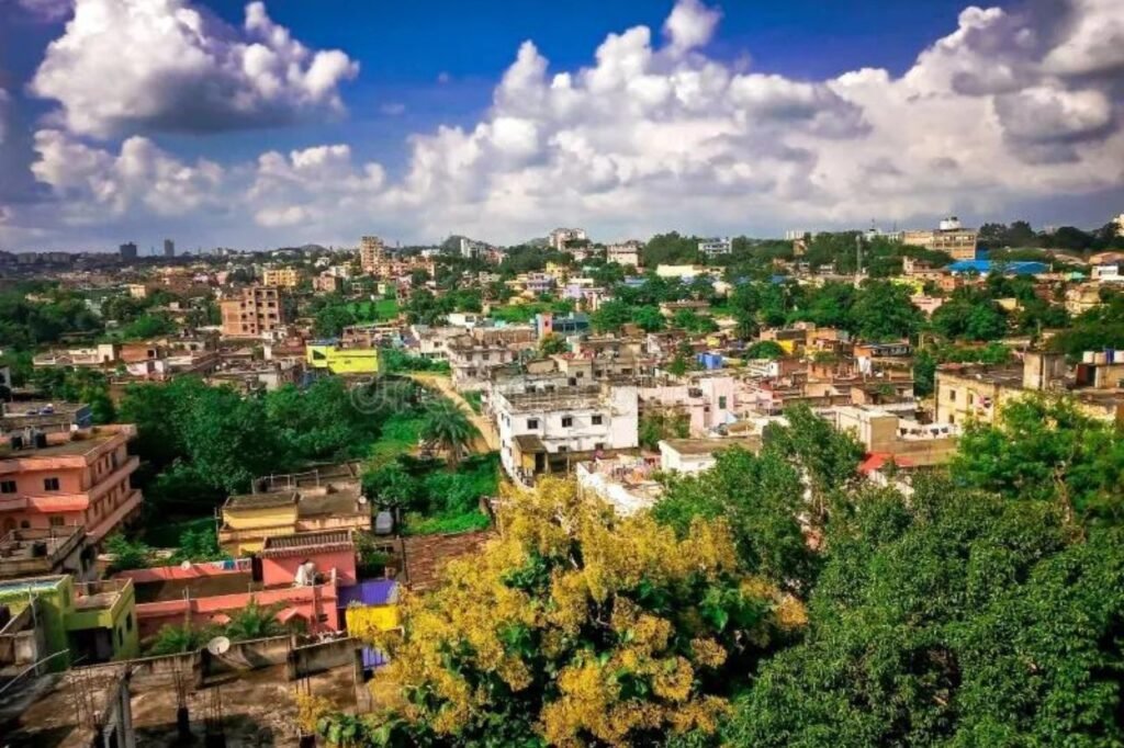
Ranchi, located in eastern India, serves as the capital of the state of Jharkhand. It holds historical significance as the epicenter of the Jharkhand movement, advocating for a distinct state encompassing tribal regions in South Bihar, northern Odisha, western West Bengal, and parts of present-day Chhattisgarh. This movement culminated in the formation of the Jharkhand state on November 15, 2000, through the division of Bihar into Chota Nagpur and Santhal Parganas. Notably, Ranchi has earned its place among the hundred Indian cities designated for development as smart cities under the visionary Smart Cities Mission spearheaded by Prime Minister Narendra Modi.
History
Around 1400 BCE, traces of iron slag, pot sheds, and iron tools were discovered in the Chota Nagpur region, signifying early iron usage. The Magadha Empire held indirect sway over this area until Ashoka’s reign. In the 4th century CE, Raja Pratap Rai of the Nagvanshi dynasty designated Chutia as the capital, with some remnants dating back to the 2nd century CE. Despite the Mughal Empire’s expansion, the Nagvanshi rulers maintained their sovereignty. Thakur Ani Nath Shahdeo later established Satranji as the capital of the Barkagarh estate, erecting the Jagannath Temple in 1691 along the Subarnarekha river.
Demography
According to the 2011 India census, the population of Ranchi Municipal Corporation stood at 1,073,427, with an urban agglomeration population of 1,456,528. This ranked Ranchi as the 32nd most populous urban agglomeration in India. The male population accounted for 52.1% of the total, while females made up 47.9%. Ranchi boasted an average literacy rate of 87.68%
Geography
Ranchi, situated at approximately 23°22′N latitude and 85°20′E longitude, is in close proximity to the Tropic of Cancer. Spanning an area of 175 square kilometers (68 square miles), the city boasts an average elevation of 651 meters above sea level. Found in the southern region of the Chota Nagpur plateau, Ranchi is a part of the eastern sector of the Deccan plateau.
Economy
Ranchi, situated in Eastern India, is a significant industrial hub within the region known as the ‘Ruhr of India’ (Chota Nagpur). Its strategic location makes it an ideal hub for mineral-based industries. The city boasts a strong presence of both government and private organizations. Notable entities such as SAIL-R&D, MECON Ltd, Garden Reach Shipbuilders & Engineers (Marine Diesel Engine Project), Central Coalfields, CMPDI Ltd, and others contribute to its thriving industrial landscape. These industries, including Usha Martin Ltd (Wire Rope Division), DVC, STPI-Ranchi, Heavy Engineering Corp., Palriwal Industries, Pensol India, Waxpol Industries, and Jharkhand Mega Food Park, make Ranchi a prominent industrial center in the region.
