Ropar Rupnagar Pincodes

Enter the Pincode or Location Below in the Box

Pincodes Ropar Rupnagar

Ropar Rupnagar Pincodes: Explore the distinct pincodes of Ropar, also known as Rupnagar, on our user-friendly website, “Pincodes of My Location.” Navigate effortlessly through the diverse locales with precision using our comprehensive database. From the bustling urban areas to serene rural pockets, discover the specific pincodes that define each locality. Whether sending parcels or locating an address, our Ropar (Rupnagar) pincodes section ensures accurate information for a seamless experience. Stay connected with the heartbeat of this vibrant region through our platform, simplifying your interactions with the distinct pincodes that characterize Ropar’s dynamic landscape.

Ropar Rupnagar Pincodes

Here is a list of Ropar Rupnagar Pincodes

About Ropar Rupnagar

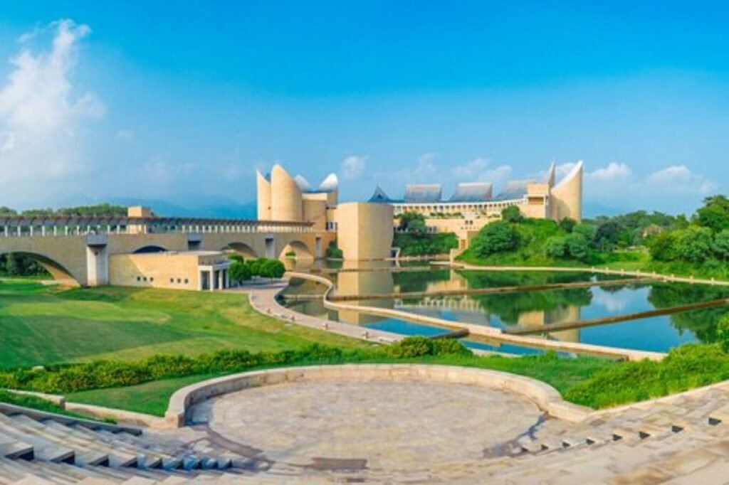
Rupnagar, formerly Ropar, stands as a significant city and municipal council in Punjab‘s Rupnagar district. This newly formed fifth Divisional Headquarters of Punjab encompasses Rupnagar, Mohali, and adjoining districts, marking a vital regional center. With its historical richness, it’s a key site linked to the Indus Valley civilization. Positioned about 43 km northwest of Chandigarh, it’s bordered by Himachal Pradesh to the north and Shahid Bhagat Singh Nagar district to the west. The city hosts various historical and religious landmarks, including revered gurdwaras like Gurudwara Bhatha Sahib, Gurdwara Bhubour Sahib, Gurdwara Solkhian, and Gurudwara Tibbi Sahib.

History

The ancient town of Rupnagar derives its name from Raja Rokeshar, honoring his son Rup Sen during the 11th century. Situated along the Ghaggar-Hakra beds, Rupnagar holds significance as an Indus Valley site. Hosting an Archaeological Museum since 1998, it showcases excavated relics, marking the first Harappan site in Independent India. Unveiling a cultural timeline from Harappan to medieval eras, the exhibits feature valuable remnants, including Harappan artifacts, Chandragupta’s gold coins, and assorted copper and bronze tools. These excavations offer a captivating glimpse into the rich historical legacy of Rupnagar, encapsulating its evolution through the ages
 

Demography

As per the 2011 India census, Rupnagar boasted a population of 56,038, with males comprising 52.8% and females 47.2%. The region exhibited an impressive average literacy rate of 82.19%, surpassing the national average of 74.04%. Notably, male literacy stood at 87.50%, while female literacy was recorded at 76.42%. These statistics underscored Rupnagar’s commitment to education, showcasing a commendable effort in fostering literacy across genders, significantly exceeding the country’s average literacy rates and reflecting a concerted push toward inclusive educational development.


Geography

Rupnagar sits at 30.97°N 76.53°E, boasting an elevation averaging 260 meters (850 feet). Nestled alongside the Satluj River, the town enjoys a scenic backdrop with the sprawling Shivalik hill range gracing the river’s opposing bank. This picturesque setting offers a blend of riverfront tranquility and the majestic presence of the Shivalik hills. The town’s strategic location by the riverbank, coupled with the stunning natural landscape, adds to its allure, making Rupnagar a captivating destination embraced by nature’s beauty.
 

Administration

Rupnagar district is subdivided into 5 Tehsils: Sri Anandpur Sahib, Sri Chamkaur Sahib, Rupnagar, Nangal, and Morinda. These Tehsils further encompass 5 Blocks, including Sri Anandpur Sahib, Sri Chamkaur Sahib, Rupnagar, Nurpur Bedi, and Morinda. Additionally, there’s a Sub Tehsil named Nurpur Bedi. The district boasts 5 Municipal Councils/Nagar Panchayats: Sri Anandpur Sahib, Rupnagar, Nangal, Morinda, and a Nagar Panchayat in Sri Chamkaur Sahib. This division provides administrative structure and governance across the district’s various regions, ensuring efficient management and civic services.

FAQs