Sagar Pincodes
Enter the Pincode or Location Below in the Box
Pincodes of Sagar
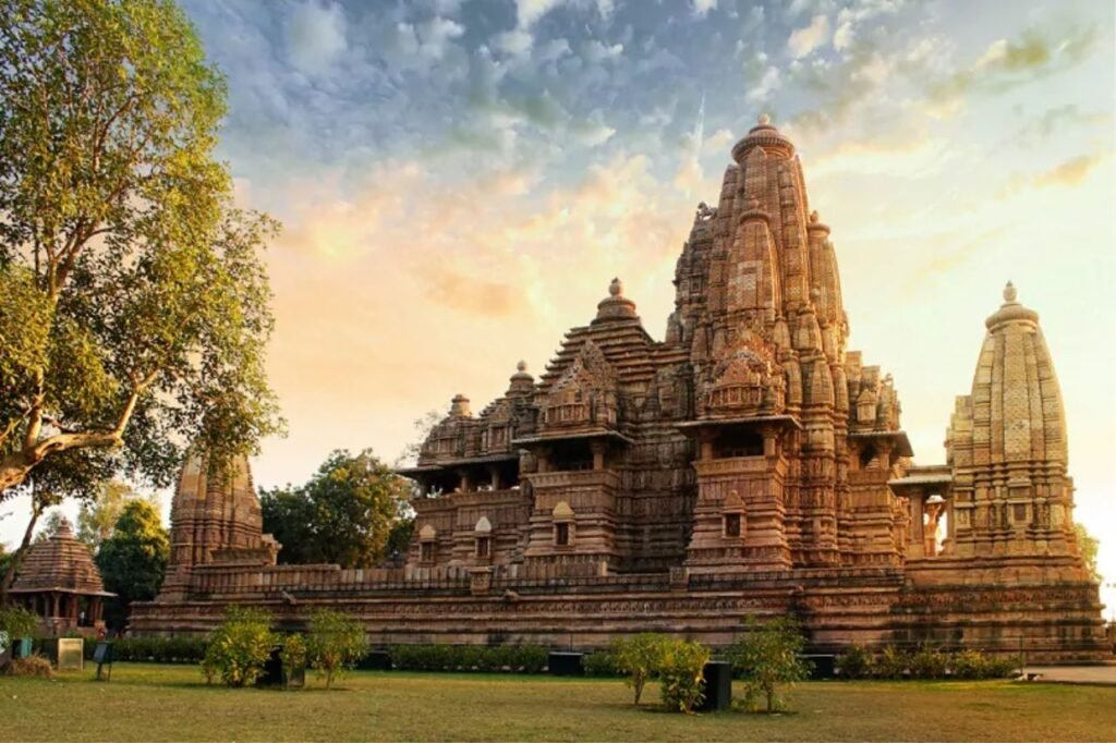
Sagar District, known for its diverse culture and natural beauty, is located in Madhya Pradesh, India. It encompasses a variety of landscapes, from lush forests to serene lakes. The district is rich in historical and cultural heritage, with numerous temples and historic sites. Sagar is also known for its vibrant markets and traditional handicrafts. Sagar Pincodes facilitate postal services and administrative functions. With its blend of history, culture, and natural wonders, Sagar District is a captivating destination in Madhya Pradesh.
Here is a list of Sagar Pincodes
About Sagar
Sagar District, situated in the heart of Madhya Pradesh, India, has its administrative center in the town of Sagar. This district covers an expansive area of 10,252 square kilometers and is home to a population of 2,378,458 as per the 2011 census. Notably, this represents a significant increase of 45%, equivalent to 732,260 residents, compared to its population of 1,646,198 in 1991.
Sagar district is characterized by a diverse demographic composition, with prominent communities including Sonis, Jains, and Yadavs. In terms of population, it ranks as the third most populous district in Madhya Pradesh, following Indore and Jabalpur. Additionally, the Tropic of Cancer passes through Sagar district, adding to its geographical significance.
History:
The history of Sagar town traces its origins to around 1660 AD when Udan Shah, a descendant of Nihal Shah, constructed a small fort at the site of the present-day town. He also established a nearby village called Parkota Sagar. Later, in 1735, control of Sagar and its surrounding territory fell under the authority of Govind Pant Bundele, an officer serving under Peshwa Bajirao I. It was during this period that the present fort and a settlement beneath its walls were established.
In 1818, a significant portion of the district was ceded by Peshwa Baji Rao II to the British Government, and gradually, the rest of the current Sagar district came under British control between 1818 and 1860. In 1861, the Saugor and Nerbudda territories, along with Nagpur state, united to form a Commissioner’s Province known as Central Provinces. Sagar served as the headquarters of the Sagar Commissionership briefly until 1863-64 when it was merged with the Jabalpur Commissionership. In 1932, the Damoh district was added as a Sub-Division to Sagar. However, in 1956, Damoh Sub-Division was separated to form its own district, leaving the Sagar district with four tehsils: Sagar, Khurai, Rehli, and Banda.
Geography:
Sagar District is situated in central India, within the state of Madhya Pradesh. It covers an area of approximately 10,252 square kilometers, making it a significant region. The district’s administrative hub is the town of Sagar.
Geographically, Sagar is characterized by its diverse terrain. It features fertile alluvial plains, which are suitable for agriculture. These plains are interspersed with hills, ravines, and rivers, creating a varied landscape.
One notable geographical feature is the presence of the Tropic of Cancer, which passes through Sagar District. This geographical marker holds significance in terms of the region’s location.
Sagar’s topography includes the Sonis, Jains, and Yadavs, who are prominent communities in the district. This diversity, both in terms of landforms and communities, contributes to the unique geographical identity of Sagar District in central India.
Demographics:
According to the 2011 census, Sagar District has a population of 2,378,458, ranking 188th in India out of 640 districts. The district has a population density of 232 people per square kilometer, with a sex ratio of 896 females for every 1000 males. The literacy rate stands at 77.52%, and approximately 29.80% of the population resides in urban areas.
In terms of language, during the 2011 Census of India, 55.38% of the district’s population spoke Hindi as their first language, while 42.93% spoke Bundeli.
At the time of the 2011 Census of India, 55.38% of the population in the district spoke Hindi and 42.93% Bundeli as their first language.