Sangrur Pincodes

Enter the Pincode or Location Below in the Box

Pincodes of Sangrur

Sangrur Pincodes: Navigate Sangrur’s diverse locales effortlessly with our reliable compilation of pincodes. Whether it’s the vibrant city center or the tranquil countryside, access the precise postal codes to streamline your communication and deliveries. ‘Pincodes of My Location’ ensures accuracy in addressing, aiding your navigation through Sangrur’s various neighborhoods and facilitating efficient correspondence. Simplify your logistics and ensure your parcels reach the right doorstep promptly. Explore our user-friendly interface to discover the unique pincodes that define Sangrur’s distinct areas, enhancing your connectivity and making your local interactions seamless.
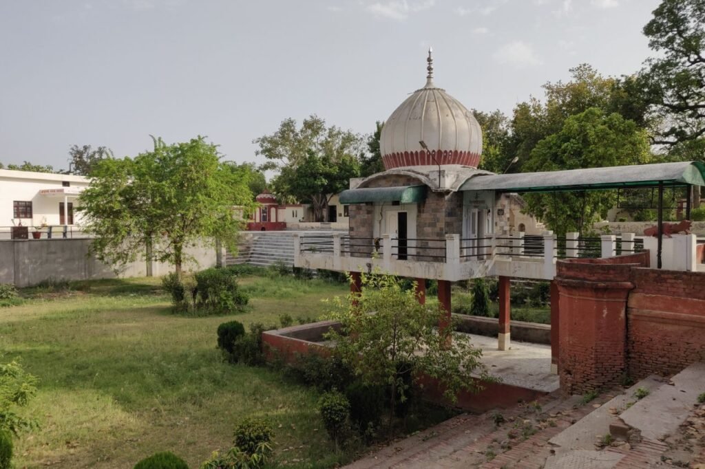
Sangrur Pincodes

Here is a list of Sangrur Pincodes

About Sangrul Pincodes

Sangrur, nestled in Punjab, India, houses the district’s hub, Sangrur city, part of Patiala Division. Surrounded by Malerkotla, Barnala, Patiala, Mansa, Fatehabad, and Jind districts, Sangrur embraces cities like Dhuri, Lehragaga, Sunam, and more. With 7 sub-divisions including Sangrur, Dhuri, and Sunam, it once encompassed Barnala until 2006. Notably, Barnala became a separate district, and in 2021, Malerkotla district emerged from Sangrur, comprising Malerkotla, Ahmedgarh subdivisions, and Amargarh sub-tehsil. This transformation underscores Sangrur’s evolving administrative landscape, showcasing its dynamic growth and division to better serve the region’s diverse communities.

History

Established in 1948, Sangrur, once part of the Nabha Princely State, bears historical treasures dating back to ancient eras. Pre-Harappan settlements, rooted in antiquity, echo Sangrur’s rich past. Recent Rohira excavations unveiled a 10-meter-high mound, unveiling dwellings dating to 2300 BC. Mard Khera village revealed Harappan pottery, shedding light on ancient civilizations. Unearthed remnants from the Kushan period add layers to Sangrur’s historical narrative. These archaeological revelations underscore Sangrur’s significance, showcasing its evolution through diverse epochs and civilizations, echoing its enduring cultural heritage across millennia.


Demography

Established in 1948, Sangrur, once part of the Nabha Princely State, bears historical treasures dating back to ancient eras. Pre-Harappan settlements, rooted in antiquity, echo Sangrur’s rich past. Recent Rohira excavations unveiled a 10-meter-high mound, unveiling dwellings dating to 2300 BC. Mard Khera village revealed Harappan pottery, shedding light on ancient civilizations. Unearthed remnants from the Kushan period add layers to Sangrur’s historical narrative. These archaeological revelations underscore Sangrur’s significance, showcasing its evolution through diverse epochs and civilizations, echoing its enduring cultural heritage across millennia.
 

Geography

Sangrur sits precisely at coordinates 30°15′02″N and 75°50′39″E, boasting an average elevation of 237 meters (778 feet) above sea level. This geospatial positioning grants Sangrur its distinct geographic essence, nestled within these coordinates that define its unique placement on the map. At this elevation, the town enjoys a perspective that captures both its landscape and the essence of its surroundings, contributing to its cultural and geographical significance within the region.


Administration

Sangrur District, Punjab, comprises seven distinct sub-divisions/tehsils: Bhawanigarh, Dhuri, Dirba, Lehragaga, Moonak, Sangrur, and Sunam. This vibrant district falls within the Sangrur Lok Sabha constituency, playing a pivotal role in regional governance. Notably, a by-election for the Sangrur Lok Sabha seat is slated for June 23, 2022, marking a significant event in the area’s political landscape. With its subdivisions contributing diverse cultural and administrative facets, Sangrur District stands as a testament to Punjab’s multifaceted identity, ensuring representation and governance that resonate with its rich heritage and evolving socio-political dynamics.

FAQs