Sant Kabir Nagar Pincodes
Enter the Pincode or Location Below in the Box
Pincodes of Sant Kabir Nagar
Sant Kabir Nagar Pincodes: Explore the diverse postal codes of Sant Kabir Nagar, a district in the Indian state of Uttar Pradesh, through our comprehensive database. From bustling urban centers to serene rural areas, our website, ‘Pincodes of My Location,’ provides an organized list of Sant Kabir Nagar’s pincodes. Discover the unique identity of each locality, facilitating efficient mail delivery and location-specific services. Whether you’re a resident or visitor, our user-friendly platform ensures easy access to the precise pincodes of Sant Kabir Nagar, promoting seamless connectivity and convenience for all. Navigate the district effortlessly with the help of our reliable pincodes resource.
Here is a list of Sant Kabir Nagar Pincodes
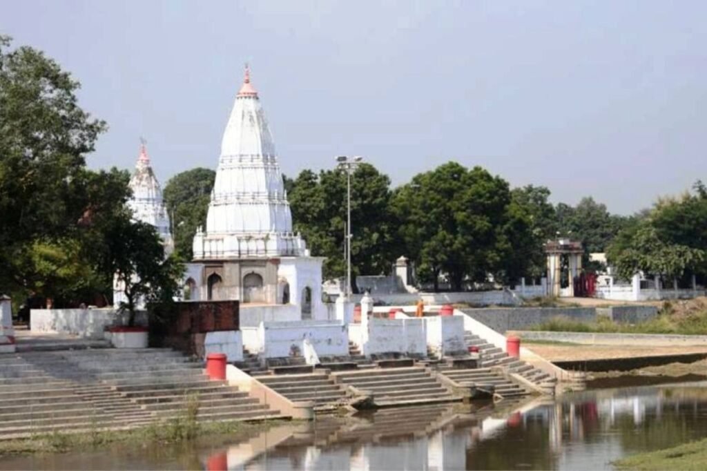
About Sant Kabir Nagar
History
Demography
As of the 2011 census, Sant Kabir Nagar district in India boasts a population of 1,715,183, akin to The Gambia or Nebraska in the US. Positioned 283rd among India’s 640 districts, it maintains a population density of 1,041 individuals per square kilometer. Notably, its growth rate from 2001-2011 stands at 20.71%. The district exhibits a sex ratio of 969 females for every 1000 males, alongside a 69.01% literacy rate. Around 7.49% reside in urban areas. Additionally, Scheduled Castes constitute 21.52% while Scheduled Tribes account for 0.09% of the population in Sant Kabir Nagar.
Geography
Sant Kabir Nagar in Uttar Pradesh boasts a diverse geography, blending plains and rivers. Nestled in the Gangetic belt, it features fertile alluvial plains traversed by the Ghaghara River, enriching its agricultural landscape. The district exhibits a primarily flat terrain with occasional undulating areas. Its geographical charm lies in the juxtaposition of verdant fields, small water bodies, and pockets of woodland. Sant Kabir Nagar’s strategic location within the state’s heartland enhances its cultural significance and agricultural prosperity, offering a blend of natural beauty and rural charm amid the bustling life of Uttar Pradesh.
Administration
The district’s administrative hub resides in Khalilabad, overseeing three tahsils: Mehdawal, Khalilabad, and Ghanghata. With an aim for effective development, it’s divided into nine Development Blocks—Sotha, Mehdawal, Baghauli, Semariyawan, Khalilabad, Nath Nagar, Haisar Bazar, Belhar Kala, and Pauli (added post-2001 Census). Encompassing 1646.0 Sq. Km, the district comprises 1620.0 Sq. Km of rural expanse and 26.0 Sq. Km of urban zones. It houses 648 Gram Panchayats, 1726 Revenue villages (1582 inhabited, 144 uninhabited), and eight statutory towns, including one Nagar Palika Parishad and seven Nagar Panchayats, fostering balanced regional development.