Pincode of Eluru
Eluru Pincode 534001 is located in the city of Eluru, Andhra Pradesh, India. Eluru is known for its historical significance, cultural heritage, and administrative importance. Explore iconic landmarks like the Eluru Kshira Rama Lingeswara Swamy Temple, experience the city’s traditional cuisine, and participate in its vibrant festivals. Eluru Pincode 534001 provides access to the essence of this region, where spirituality and tradition coexist harmoniously. Whether you’re visiting religious sites or exploring the city’s cultural treasures, this Pincode offers a captivating journey into the heart of Eluru.
Here is a list of Eluru Pincode
| No | Location | Pincode | District | State |
|---|---|---|---|---|
| 1 | Eluru | 534001 | West Godavari | Andhra Pradesh |
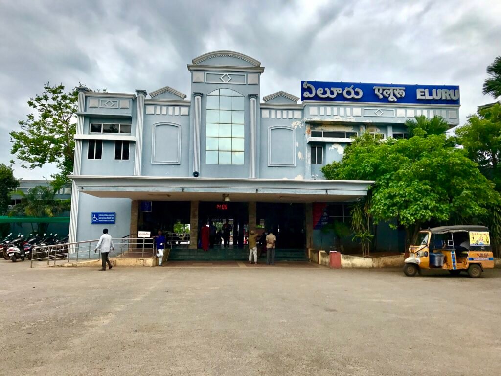
About Eluru
In the Indian state of Andhra Pradesh, Eluru is both a city and the district center of Eluru district. It is the mandal headquarters of Eluru mandal in the Eluru revenue division and one of the state’s fourteen municipal corporations. The Tammileru River runs through the city. The city is renowned for its hand-woven goods and wool-pile carpets. There were 214,414 people living in the city as of the 2011 Indian Census. Its history began in the second century of the common era.
History
In 1753, Salabat Jung, the fourth Nizam of Hyderabad, gave the French East India Company the province, which included Eluru. However, after a few years, the French were compelled to give it to the British. Eluru served as both a military outpost and the capital of the Northern Circars, a branch of the Madras Presidency, under British administration.
The District of Rajahmundry was established in the Madras Presidency in 1823. After a reorganization in 1859, it was divided into the districts of Godavari and Machilipatnam. Following the split of the Northern Circars, Eluru became a part of the Machilipatnam district. It was incorporated into the Godavari district in 1859 and thereafter became a part of the Krishna district.
Geography
Eluru’s average elevation is 22 meters and its coordinates are 16°42′42′′N 81°06′11′′E. It’s located in the coastal plains of the east. It lies roughly 50 kilometers inland from the Bay of Bengal and halfway between the Krishna and Godavari rivers. The Tammileru river flows through the city, preceded by the Krishna and Godavari canals. The Krishna Eluru Canal flows into Kolleru Lake, which is located close to the city.
Climate
Eluru’s climate is hot and muggy because of its closeness to the Bay of Bengal coast. The average yearly temperature there is 28.2 °C (82.8 °F). The warmest month of the year is May, while the coolest month is December. In the summer, the temperature reaches 40 °C (104 °F). The month of July experiences the highest precipitation, with the city receiving 992 mm (39.1 in) of rain on average per year.
Demography
Eluru Municipal Corporation had 214,414 residents as of the 2011 Indian census, with 105,707 men and 108,707 women. Eluru urban agglomeration had a population of 250,693. Between 2015 and 2016, the city’s population was expected to be 350,000.
Economy
Eluru has been well-known for its rug making since the 17th century, thanks to artisans from Iranian ancestry. The commercial centers are Eluru 1-Town, Powerpet, and R.R. Pet. The wool pile carpet business is particularly well-known in the city’s Tangellamudi, Sanivarapupeta, and Lakshavarapupeta districts. The environmentally friendly carpets are shipped to the UK, Germany, Australia, and the United States, among other nations.