Pincodes of Andaman Nicobar
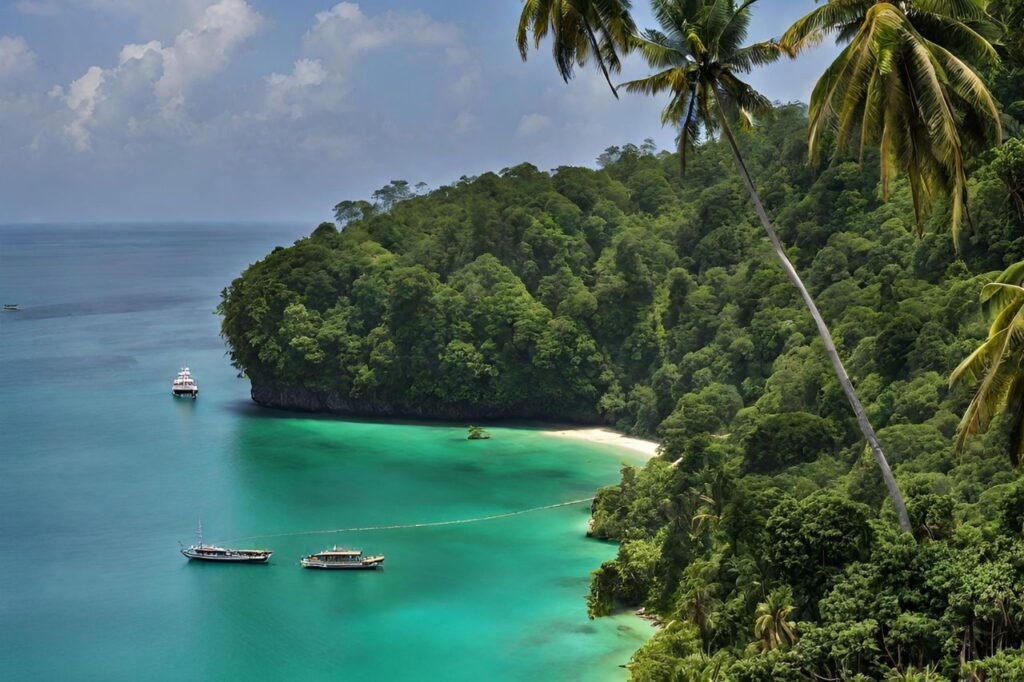
The Andaman Nicobar Pincodes embodies the remarkable splendor of these tropical islands situated in the Bay of Bengal. These pin codes grant access to immaculate beaches, verdant jungles, and abundant marine life. The pin codes range from the tranquil 744101 to the exotic 744206. Discover the abundant aquatic life, historical landmarks like the Cellular Jail, and diverse ecology of the Andaman and Nicobar Islands. These pin codes give a captivating voyage into this island paradise, making it an ideal destination for nature lovers and explorers alike, whether you’re scuba diving in Havelock or enjoying the peace and quiet of Neil Island.

Here is a list of Andaman Nicobar Pincodes
| No. | District | State |
|---|---|---|
| 1 | Nicobar | Andaman And nicobar islands |
| 2 | North And middle andaman | Andaman And nicobar islands |
| 3 | South-Andaman | Andaman And nicobar islands |
About Andaman and Nicobar Islands
The Andaman and Nicobar Islands constitute a union territory of India, encompassing a total of 571 islands, out of which 37 are inhabited. Situated at the confluence of the Bay of Bengal, this territory is divided into two main island groups:
1) the Andaman Islands
2) the Nicobar Islands
Andaman and Nicobar Islands are separated by a 150 km wide expanse. To its east lies the Andaman Sea, while the Bay of Bengal stretches to its west. The capital of this territory is the city of Port Blair. The land area of these islands covers approximately 8,249 square kilometers.
Administratively, the territory is organized into three districts:
1) the Nicobar District, with Car Nicobar as its administrative center
2) the South Andaman district, with Port Blair as its administrative hub
3) the North and Middle Andaman district, with Mayabunder serving as its administrative headquarters.
Port Blair, the capital of this union territory, is situated at a distance of 1,255 kilometers from Kolkata, 1,200 kilometers from Visakhapatnam, and 1,190 kilometers from Chennai, placing it within the South Indian region. The northernmost point within the Andaman and Nicobar Islands group is located 901 kilometers away from the mouth of the Hooghly River and 280 kilometers from the Myanmar Mainland. Meanwhile, Indira Point, positioned at coordinates 6°45’10″N and 93°49’36″E on the southern tip of the southernmost island, Great Nicobar, represents the southernmost point of India, and it is only 200 kilometers away from Sumatra Island in Indonesia. Hinduism is the primary religion in this union territory, with a notable Christian minority.
Cultural Diversity
The Great Andamanese, the Jarwa, and the Sentinelese are just a few of the native tribes that call the Andaman and Nicobar Islands home. The islands’ cultural diversity contributes to their distinct attractiveness, even though interaction with these groups is strictly prohibited in order to preserve their way of life and stop the spread of diseases.
Eco-Tourism
The Andaman and Nicobar Islands have worked hard to advance sustainability and eco-tourism. Visitors can enjoy the islands’ natural beauty while reducing their environmental effect by visiting a number of protected areas and wildlife sanctuaries.
